Добрый день, Коллеги. Важное сообщение, просьба принять участие. Музей Ферсмана ищет помощь для реставрационных работ в помещении. Подробности по ссылке
The giant outer planets—Jupiter, Saturn, Uranus, and Neptune (Figure 1.1)—are by far the largest planetary bodies in the solar system and together comprise 99.56% of the planetary mass. Although very far from the Earth, the enormous physical size of Jupiter and Saturn meant that these planets were easily visible to the ancients. However, the other two “giants”, Uranus and Neptune, are significantly smaller and so much farther from the Earth that they were unknown before the advent of telescopes, although Uranus is in fact just visible to the naked eye. Uranus was discovered by accident in 1781 by William Herschel (1738-1822) (later Sir William Herschel). Perturbations in the observed orbit of Uranus led John Couch Adams (1819-1892) and Urbain Jean Joseph Le Verrier (1811-1877) to independently predict the presence of a further planet, and Neptune was subsequently discovered close to its predicted position by Johann Gottfried Galle (1812-1910) in 1846. The mean observable properties of the outer planets are listed in Table 1.1. <...>
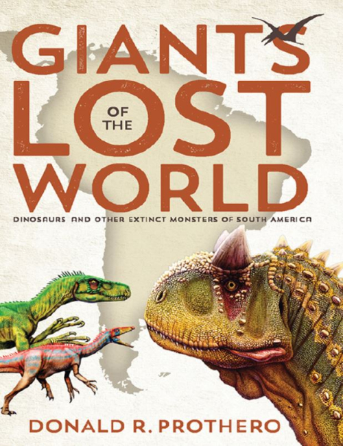
The Lost World was a work of fiction by Sir Arthur Conan Doyle, the author of the Sherlock Holmes stories, but it was based on the newly made discovery of actual isolated plateaus in the Amazonian jungles of South America inhabited by unique creatures unknown to science. Not even Doyle could have imagined the extinct gigantic creatures that really did exist in the prehistoric past of South America. <...>
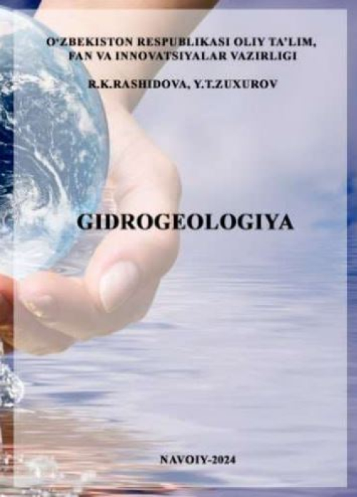
В настоящее учебное пособие включены следующие объекты изучения «Гидрогеологии»: цель и задачи науки «Гидрогеология», значение подземных вод, история развития науки, поиск подземных вод и их использование. в нужном месте, круговорот воды в природе, содержание воды в горных породах и виды воды в почвах, типы подземных вод по условиям формирования и залегания, гидрогеологическая карта и разрезы, межпластовые воды, артезианские водные ресурсы, артезианские бассейны в на территории нашей Республики отражены физические свойства и минеральный состав подземных вод, оценка качества подземных вод, закономерности движения подземных вод, родники, гидрогеологическая разведка, запасы подземных вод, значение подземных вод в горных работах
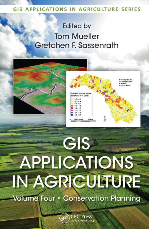
GIS Applications in Agriculture, Volume Four: Conservation Planning, edited by Tom Mueller and Gretchen F. Sassenrath, is the fourth volume in the book series GIS Applications in Agriculture, which is designed to enhance the application and use of geographic information systems (GISs) in agriculture by providing detailed GIS applications that are useful to scientists, educators, students, consultants, and farmers. The first volume, GIS Applications in Agriculture, edited by Francis J. Pierce and David Clay, was published by CRC Press in 2007. The second volume, GIS Applications in Agriculture: Nutrient Management for Improved Energy Efficiency, edited by David Clay and John Shanahan, and the third volume, GIS Applications in Agriculture: Invasive Species, edited by Sharon Clay, were published by CRC Press in 2011. While the newest book in this series, the idea of a book on conservation planning using GIS was identified in 2007 when the book series began. Intuitively, conservation planning through GIS applications should appeal to all conservationists who clearly understand that a key to achieving soil and water conservation is rooted in an understanding of the spatial and temporal variation in both soil and water resources and natural and human-induced forces that affect the quality and quantity of those resources. <...>
If those of us in the geographic information system (GIS) realm have disregarded design in the past, we are now coming to realize that the elegant display of geographic data is as important as the data itself. Some resistance may be introduced when we talk about making a map look pretty; and rightly so. But elegance in mapping goes well beyond making a map look attractive. In this text, I explain exactly how to convey information to serve up the facts, hold the viewer’s attention, avoid potential confusion, and provide all the necessary metadata. Even with no prior experience in cartography, you can learn how to create maps with these qualities by studying these pages. Let’s begin. <...>
What is cartography today? When I look back on the first and second editions of this book, it’s almost like seeing cartography as it progressed since 2009 and it now looks almost nothing like it did then. The expansion of what’s possible has been incredible. Massive technological change, accompanied by free, open, highly detailed, and reliable datasets, along with a surge of interest in the field from all corners, combined to make what was once impossible cartographically, possible.
Geography has always been important to humans. Stone-age hunters anticipated the location of their quarry, early explorers lived or died by their knowledge of geography, and current societies work and play based on their understanding of who belongs where. Applied geography, in the form of maps and spatial information, has served discovery, planning, cooperation, and conflict for at least the past 3000 years (Figure 1-1). Maps are among the most beautiful and useful documents of human civilization.
About 2,200 years ago a scholarly librarian in charge of the prestigious collections of the museum at Alexandria conducted an elegant exercise in logic and experimentation. Using seemingly unrelated bits of information such as the observation of the penetration of sunlight into a well in the city of Syene, the speed of a camel caravan, and the shadow cast by an obelisk in Alexandria, Eratosthenes calculated a remarkably accurate estimate of the circumference of the earth (Wilford 1981).