Добрый день, Коллеги. Важное сообщение, просьба принять участие. Музей Ферсмана ищет помощь для реставрационных работ в помещении. Подробности по ссылке
Разработка месторождений полезных ископаемых оказывает наиболее интенсивное негативное воздействие на природные комплексы по степени преобразования и площадному распространению. Отходы добычи и переработки калийной промышленности являются источником техногенных высокоминерализованных потоков, которые могут определять формирование специфических ландшафтов с характеристиками и процессами, не свойственными для данной природной зоны.
Сборник посвящен 90-летию со дня рождения выдающегося советского ученого, профессора Московского университета И. С. Щукина, включает статьи, написанные его учениками и коллегами. Книга открывается статьей о юбиляре н его научных трудах, в которой дается высокая оценка вклада, сделанного И. С. Щукиным в геоморфологию и физическую географию. В других статьях рассматриваются проблемы плювиальных условий Земли в плейстоцене, формирование рельефа ложа н побережий Мирового океана, роль экзогенных процессов в рельефообразованнн. различные вопросы палеогеографии, комплексной физической географии.
Книга представляет интерес для специалистов, занимающихся вопросами геоморфологии, палеогеографии и физической географии.
Как великолепны земные ландшафты и как они разнообразны! Но с чем связано это разнообразие и какую роль в нем играют геологическое строение фундамента ландшафта, его поверхность, тепловой и водный режим, почвы, растительный покров и животный мир? Каков биологический круговорот веществ в том или ином ландшафте и почему он такой? Насколько существенна роль сезонной ритмики природных процессов в том или ином ландшафте? Как используются ландшафты в хозяйстве и каков их природный потенциал?
Ответить на эти и другие вопросы поможет уникальное, красочно иллюстрированное справочное издание, рассчитанное как на специалистов, так и на широкий круг читателей
В монографии изложены результаты исследования изменения климата и динамики ландшафтов в течение кайнозоя для крупнейших регионов Северной Евразии. Приводятся также данные по климатическим изменениям для прилегающих акваторий Северного Ледовитого и Атлантического океанов и Северной Пацифики. Особое внимание уделено важнейшим климатическим событиям, имеющим глобальный характер.
Книга рассчитана на широкий круг географов, геологов, климатологов, биологов, экологов, а также всех специалистов, изучающих проблемы эволюции природной среды.
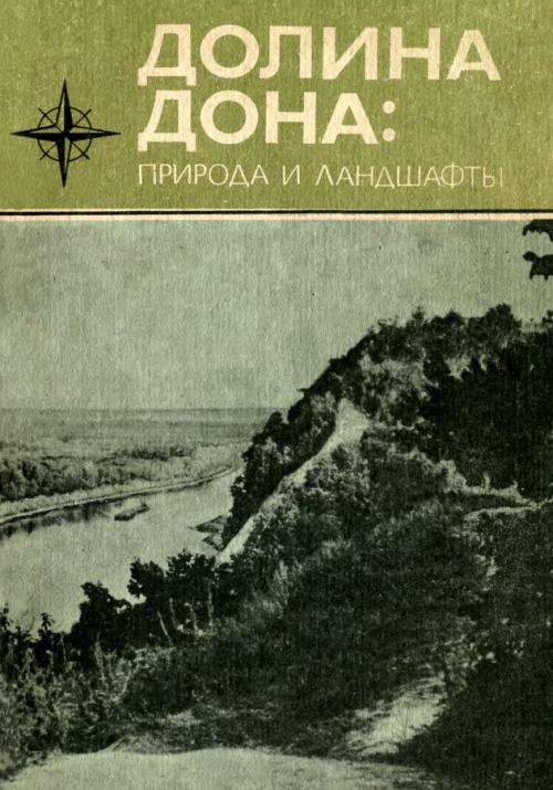
Дон — одна из крупных рек Русской равнины. Главная река Черноземного Центра и Ростовской области. На ее берегах десятки рабочих городов и поселков, многие сотни сел. Жизнь, хозяйственная деятельность не одного миллиона советских людей неотделимы от этой древней русской реки. В книге в научно-популярной форме рассказывается о природе и ландшафтах Дона. Особое внимание уделяется примечательным местам и комплексам, подлежащим охране.
Рассматриваются проблемы формирования барьерных ландшафтов. Выявлен барьерный эффект гор, обоснованы поля воздействия его на предгорные и равнинные территории. Дана география барьерных ландшафтов на территории СССР, предложена их классификация. Предназначается для широкого круга читателей — научных работников, преподавателей и студентов (вузов, учителей и краеведов.
Landforms and landscapes vary enormously across the Earth, from high mountains to endless plains. At a smaller scale, nature often surprises us creating shapes which look improbable. Many physical landscapes are so immensely beautiful that they received the highest possible recognition—they hold the status of World Heritage properties. Apart from often being immensely scenic, landscapes tell stories that not uncommonly can be traced back in time for tens of millions of years and include unique events. In addition, many landscapes owe their appearance and harmony not solely to the natural forces. For centuries, and even millennia, they have been shaped by humans who have modified hillslopes, river courses, and coastlines, and erected structures which often blend with the natural landforms to form inseparable entities. These landscapes are studied by geomorphology—‘the science of scenery’—a part of Earth Sciences that focuses on landforms, their assemblages, surface, and subsurface processes that molded them in the past and that change them today. To show the importance of geomorphology in understanding the landscape, and to present the beauty and diversity of the geomorphological sceneries across the world, we have launched a book series World Geomorphological Landscapes. It aims to be a scientific library of monographs that present and explain physical landscapes, focusing on both representative and uniquely spectacular examples. Each book will contain details on geomorphology of a particular country or a geographically coherent region. This volume presents the geomorphology of Brazil, a big country with a multitude of spectacular landscapes, from the very well known—such as the steep-sided domes of Rio de Janeiro, Iguazu Falls, or majestic rivers of the Amazonian Lowland—to many hidden gems scattered across the Brazilian Shield. For such a vast and varied territory to make a selection of case studies must have been an arduous task, so inevitably they present only a small fraction of what Brazil has to offer in terms of geomorphological sceneries to enjoy. To discover and learn more, go to Brazil! This would be an unforgettable geomorphological experience. The World Geomorphological Landscapes series is produced under the scientific patronage of the International Association of Geomorphologists (IAG)—a society that brings together geomorphologists from all over the world. The IAG was established in 1989 and is an independent scientific association affiliated with the International Geographical Union (IGU) and the International Union of Geological Sciences (IUGS). Among its main aims are to promote geomorphology and to foster dissemination of geomorphological knowledge. I believe that this lavishly illustrated series, which sticks to the scientific rigor, is the most appropriate means to fulfill these aims and to serve the geoscientific community. To this end, my great thanks go to the editors of this volume—Prof. Bianca Carvalho Vieira as the senior editor, and Profs. André Augusto Rodrigues Salgado and Leonardo José Cordeiro Santos as co-editors. <...>
Climate Variability in the Horn of Africa Eastern Countries: Eritrea, Djibouti, Somalia Paolo Billi Geology and Geomorphological Landscapes of Eritrea Ernesto Abbate and Paolo Billi Geomorphology of Afar Jacques Varet Geomorphology of Eritrean River Systems Paolo Billi Pleistocene Landscape Variability Recorded in the Homo-Bearing Dandiero Basin (Eritrea) Massimiliano Ghinassi, Mauro Papini, Lorenzo Rook, Oriol Oms, and Federico Sani Landscape and Landforms of the Samoti Plain, Eritrean Danakil
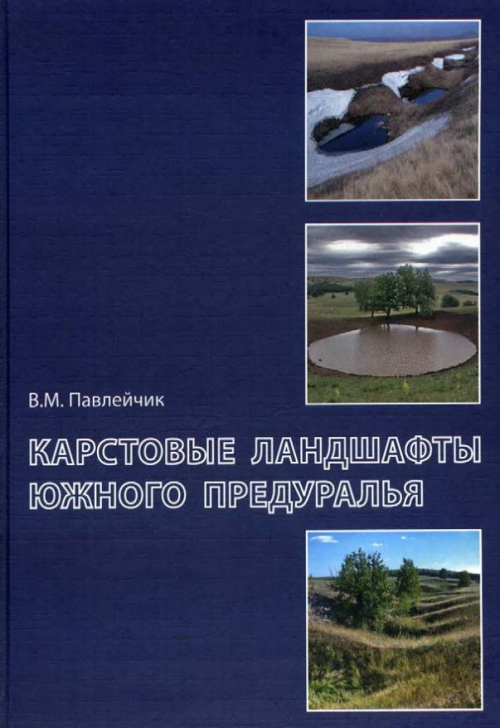
Монография посвящета выявлению и анализу закономерностей развития карстовых процессов Южного Предуралья, протекающих в гидрохимических накоплениях кунгурского времени ранней перми - гипсоангидритах и залежах каменной соли. В книге обобщены сведения об истории геологического развития региона, о современных геолого-геоморфологических и зонально-климатических условиях и факторах протекания карстовых процессов. Систематизированы и охарактеризованы основные морфогенетические типы карстовых проявлений, приведены данные об их распространении.