Добрый день, Коллеги. Важное сообщение, просьба принять участие. Музей Ферсмана ищет помощь для реставрационных работ в помещении. Подробности по ссылке
N0TTVEDT, A. Integrated Basin Studies - Dynamics of the Norwegian Margin: an introduction Intra-plate rifting and basin formation Christiansson, P., Faleide, J. I. & Berge, A. M. Crustal structure in the northern North Sea: an integrated geophysical study ODrNSEN, T., Christiansson, P., Gabrielsen, R. H., Faleide, J. I. & Berge, A. M. The geometries and deep structure of the northern North Sea rift system Ter Voorde, M., F/erseth, R. B., Gabrielsen, R. H. & Cloething, S. A. P. L. Repeated lithosphere extension in the northern Viking Graben: a coupled or decoupled rheology? Odinsen, T., Reemst, P., Van Der Веек, P., Faleide, J. I. & Gabrielsen, R. H. Permo-Triassic and Jurassic extension in the northern North Sea: results from tectonostratigraphic forward modelling Fossen, H., Odinsen, T. F^erseth, R. B. & Gabrielsen, R. H. Detachments and low-angle faults in the northern North Sea rift system
From May 3-5, 1999, more than 200 geologists assembled in Grieghallen, Bergen to discuss the sedimentary development of the Norwegian offshore areas and their analogues. The conference was organised by the Norwegian Petroleum Society. The participants came from universities, government agencies and oil and consulting companies in Norway, Denmark, Great Britain, Holland, France, Spain, Canada and USA. The presentations included 25 talks, 10 core examples and 37 posters. Particular emphasis was on the posters and the core examples, recognising that it was within these presentations that most of the data were presented. Three keynote addresses were given: by Robert Dalrymple on non- and marginalmarine environments, by H. Edward Clifton on shallow-marine environments, and by Arnold Bouma on deep-water environments. For various reasons, papers from these keynote addresses were not included in the volume, but their abstracts are included in the abstracts volume (Martinsen and Dreyer, 1999). <...>
Two hundred years of mapping and drilling have given us a reasonable model of the continents, and nearly two decades of deep sea drilling have shown at least a cartoon of the oceanic crust. The transition between continent and ocean remains, however, almost unknown, the 'new frontier' of geological exploration. Much current research in earth science is based on applying the plate tectonic model to problems as diverse as continental orogeny, palaeooceanography, and metallogeny.
FOREWORD (В. M. Thomas) REGIONAL STUDIES 1. Organic Facies and hydrocarbon distributions in the Norwegian North Sea В. M. Thomas, P. M0ller-Pedersen, M. F. Whitaker and N. D. Shaw 2. Correlation of the offshore sequences referred to the Kimmeridge Clay Formation — relevance to the Norwegian sector A. G. Dore, J. Vollset and G. P. Hamar 3. Organic geochemistry in exploration of the northern North Sea J. D. Field
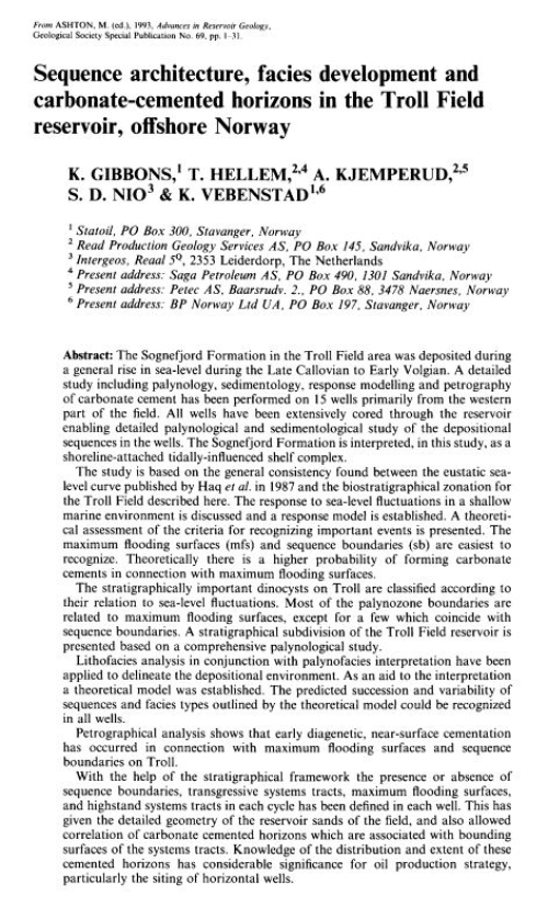
The Sognefjord Formation in the Troll Field area was deposited during a general rise in sea-level during the Late Callovian to Early Volgian. A detailed study including palynology, sedimentology, response modelling and petrography of carbonate cement has been performed on 15 wells primarily from the western part of the field. All wells have been extensively cored through the reservoir enabling detailed palynological and sedimentological study of the depositional sequences in the wells. The Sognefjord Formation is interpreted, in this study, as a shoreline-attached tidally-influenced shelf complex.
The fi eld trip described in this guide starts in the “Norwegian Alps,” the high mountain massif called Jotunheimen, and runs out along Sognefjorden, the world’s longest fjord, to the islands along the west coast of Norway. Geologically, the Sognefjord transect provides a complete cross section through the Caledonian orogenic belt, of Paleozoic age, which in Norway stretches along the west coast from Stavanger to North Cape, a distance of ~2000 km.
Второй том «Геология Норвегии» крупнейшего норвежского геолога У. Хольтедаля посвящен четвертичной геологии и геоморфологии. Автор объективно излагает богатейший фактический материал, давая читателю представление о существующих точках зрения по затрагиваемым им вопросам. Книга снабжена многочисленными иллюстрациями, главным образом фотоснимками, которые дают яркое представление о формах ледникового рельефа и его развитии.
1. Создание прогнозных карт урана типа "несогласия" на основе нечетко-логического моделирования минеральнго потенциала МРМ. Бассейн Атабаска (Канада). СЗ МакАртур (Австралия)
2. Региональное прогнозирование вольфрама, олова и ниобий-тантала на основе нечетко-логического моделирования минерального потенциала МРМ интегрированныя информация по Руанде (Центральная Африка)
Настоящая книга известного норвежского геолога Улафа Хольтедаля представляет собой детальную сводку по геологии, содержащую данные новых исследований. Книга содержит подробные описания древних отложений, эквивалентных многим горным породам, широко развитым в пределах СССР. Особенно большой интерес представляет раздел, посвященный кале-донидам Норвегии, который занимает большую часть книги. Советскому читателю будет интересно и полезно познакомиться как с детально разработанной стратиграфией кембро-силура, так и с весьма сложным чешуйчатым строением норвежских каледонид. Не ограничиваясь описанием стратиграфии, тектоники и магматических проявлений, У. Хольтедаль приводит характеристику месторождений полезных ископаемых, связанных с теми или иными осадочными и магматическими формациями. Книга Хольтедаля представляет интерес для петрографов и минералогов, но материалы ее будут весьма полезны и для геологов, работающих в области поисков и разведки полезных ископаемых, и географов.