Добрый день, Коллеги. Важное сообщение, просьба принять участие. Музей Ферсмана ищет помощь для реставрационных работ в помещении. Подробности по ссылке
Since the fourth edition of Geology and Economic Minerals of Canada was published in 1957 our knowledge of the geology of Canada has increased greatly. Heretofore, geological information was meagre for many parts of the country, although detailed but isolated information was available for the mineral producing areas and more accessible regions. A large part of the new knowledge has been gained in the course of systematic geological mapping; by 1957 nearly 75 per cent of Canada was still unmapped geologically whereas in 1968 only 15 per cent remained unmapped at reconnaissance scales. The important element of continuity has been established by the initial mapping, so that it is now possible to assess and present a broad range of data in both geological and tectonic terms of reference. Of the total geological research in Canada, however, only a part has been directed towards the regional type of investigation; continuing studies have been made of many matters of economic and scientific interest, not only by the Geological Survey of Canada but also by provincial organizations, the mining and petroleum industries, consultants, and the universities (see Appendix). <...>
Part 1. Geological play analysis and resource assessment / Часть 1. Анализ геологических особенностей и оценка ресурсов
Part 2. Economic analysis / Часть 2. Экономический анализ
Appraisals of oil and gas resources existing in each of the major sedimentary basins of Canada are prepared on a regular basis by the Department of Energy, Mines and Resources Canada. These appraisals provide objective estimates of Canada’s oil and gas resources, and also serve as a basis for efficient resource management and planning for future supply. Priorities for resource appraisal are set by the Petroleum Resources Appraisal Panel (PRAP), a joint organization of the Geological Survey of Canada and Energy sectors of the Department.
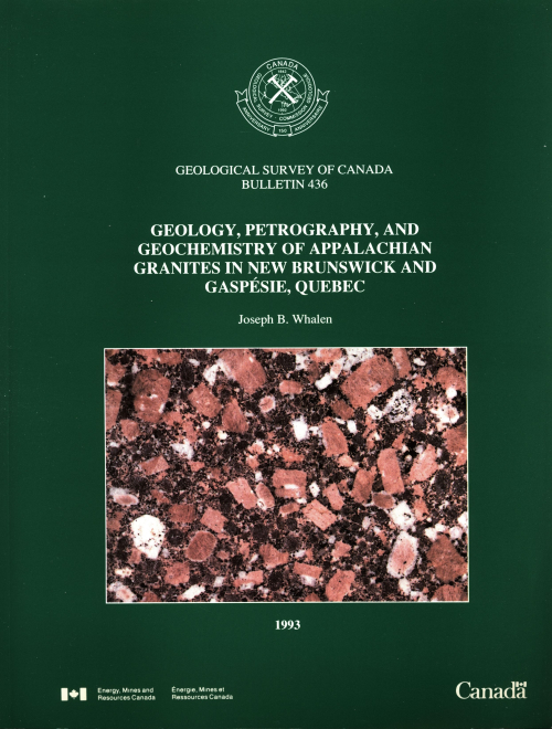
All major Appalachian tectonostratographic zones in Gaspesie, Quebec and New Brunswick (i.e. Humber, Dunnage, Gander, and Avalon) are intruded by Paleozoic granites. Granite petrological and geochemical data assist in evaluating the economic potential of the plutons and provide insight into the crustal and tectonic evolution of the orogen. Based on Na2O and Al index values (generally >3.2 wt.% and <1.1 respectively) and high-field strength element contents, most of the granites are 1-types; some have "А-type affinities". Granite chemical and isotopic characteristics distinguish three contrasting groups of granites: Humber-Dunnage, Gander, and Avalon. Positive eNd values for Humber, Dunnage, and Avalon granites indicate melting of predominately juvenile sources. Negative e Nd and elevated 201РЫШРЬ and 518 values for Gander granites are consistent with reworking of older (1.1-1.8 Ga) crust containing a significant supracrustal component. Neodymium isotopic data effectively rules out Grenville basement as a source for Humber-Dunnage granites. Gander zone is apparently the autochthonous surface expression of a distinct lower crustal block. Contrasting e Nd signatures from Avalon and Gander granites indicates that Gander and Avalon zones are underlain by different crustal blocks, i.e. Precambrian Avalon basement is not a suitable protolith for Gander granites.<...>
Mineral exploration has long been an active pursuit of both individuals and mining companies in Ontario. In recent years there has been a resurgence of interest in prospecting by individuals as a full time occupation, but more especially as “weekend prospectors’’. Accordingly, it was thought appropriate to collect together the reported instances of mineralized fragments dislodged from their bedrock source so that the techniques of tracing such fragments to their source as well as the locations of known fragments would be available to those interested in mineral exploration.
Western Canada is the part of Canada that lies west of the Precambrian rocks of the Canadian Shield. It includes the geological regions known as the Interior Platform, the Cordilleran Orogen, and parts of the Pacific and Arctic Continental Shelves and Coastal Plains (Fig. VIII-1). The Interior Platform, underlain by Phanerozoic sedimentary rocks, is the northwestern part of the North American craton, the stable interior region of the continent. The nearly horizontal bedrock is covered by a thick mantle of glacial drift to form the plains and plateaux of the Interior Plains physiographical province. It is a region of grassland, forest, and tundra, 775,000 square miles in extent, that embraces parts of the prairie provinces of Manitoba, Saskatchewan, and Alberta, the northeast corner of British Columbia, and much of western District of Mackenzie, Northwest Territories.
Results and conclusions are presented of U-Pb, Rb-Sr and K-Ar studies in three areas of southern District of Keewatin. The results of U-Pb studies on zircon are generally complex and age interpretations are not necessarily unique. The geology, more fully described elsewhere, is summarized in this report. Aneikuni-Yathkyed lakes area. U-Pb age results on zircon indicate that the age of the volcanic-granitoid basement is in the range 2650 to 2680 Ma. K-Ar ages on hornblende and biotite in the Archean basement rocks are commonly ca. 1700 Ma, typical of ages re-set by the Hudsonian Orogeny.
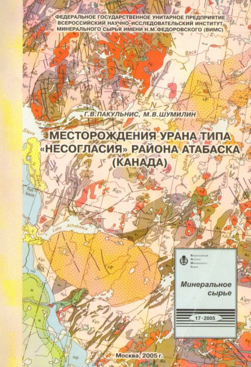
Цель работы - всесторонне охарактеризовать уникальные по запасам и высокому качеству руд месторождения урана типа "несогласия" во впадине Атабаска Канады на основе анализа и обобщения опубликованных данных. Приводятся сведения о положении района Атабаска в структуре Канадского щита, его строении и ура-коносности, размещении месторождений, особенностях рудолокализующих структур и вмещающих пород, око-л орудных изменений и состава руд и изотопного датирования оруденения. Рассматриваются этапность рудного процесса, химизм околорудных изменений, гео л отческие обстановки уранового рудообразования. Приводятся данные об опыте поисков и методах поисков месторождений во впадине Атабаска. Уникальность месторождений обусловлена особой интенсивностью процессов предрудной подготовки, длительным рудо образованием и весьма благоприятными лито лого-структурными условиями рудоотложення. Основной вывод - месторождения типа "несогласия" несмотря на специфические особенности и весьма высокое качество руд в генетическом отношении должны рассматриваться как низкотемпературные гидротермальные.
The Phanerozoic history of North America can be divided into three broad phases: During the first phase, which lasted from the Late Precambrian to the Triassic, Pangea was under construction. The western continental margin was either a divergent (‘‘passive’’) margin, facing the paleo-Pacific Ocean (Panthalassa) or a backarc basin bordering that ocean, while the eastern margin, beginning in the Middle Ordovician, underwent convergent and collisional tectonism, with the generation of the Appalachian orogen.