Добрый день, Коллеги. Важное сообщение, просьба принять участие. Музей Ферсмана ищет помощь для реставрационных работ в помещении. Подробности по ссылке
В настоящее время большое внимание уделяется проблеме увеличения в атмосфере концентрации антропогенных парниковых газов, среди которых углекислый газ и метан занимают первое место. Известно, что городские территории являются важным источником парниковых газов – на их долю приходится от 30 до 80% всех антропогенных выбросов [Satterthwaite, 2008; Kennedy et al., 2009; Cities and Сlimate Сhange, 2011; Folberth et al., 2015].
Разрушение и деградация земель приводят к деградации всего ландшафта и снижению качества жизни человека. Экономическая оценка причин и последствий деградации земель крайне важна для разработки алгоритма оптимального управления земельными ресурсами на наднациональном, национальном, региональном, муниципальном уровнях, уровне отдельного хозяйства.
Работа посвящена вскрытию закономерностей возникновения, развития и распределения по территории юга Западной Сибири и в первую очередь Омской области эродированных и дефлированных почв изменяющихся в зависимости от генезиса, физического, физико-химического и химического состава почв, от географического положения в почвенно-климатической зоне, геоморфологического района, типа эрозионного расчленения и элемента рельефа, структуры почвенного покрова, состояния и типа использования почв, агроландшафта и экосистемы в целом.
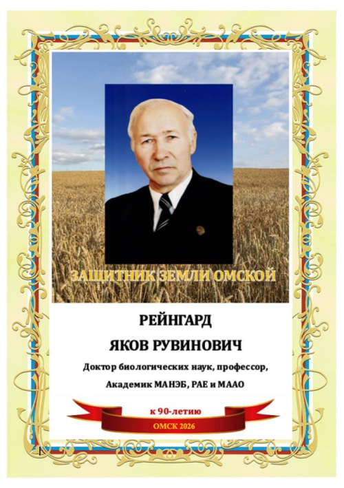
Биобиблиографический указатель видного учёного в области почвоведения, агропочвоведения, экологии и агроэкологии, охраны окружающей среды и высшего профессионального образования содержит краткую биографическую справку, перечень публикаций и диссертаций, защищённых под руководством Рейнгарда Якова Рувиновича – профессора, доктора биологических наук, профессора кафедры экологии, природопользования и биологии, академика Российской Академии Естествознания, академика Международной академии наук экологии и безопасности жизнедеятельности, академика Международной академии аграрного образования, действительного и почётного члена Русского географического общества, лауреата премии им. М. В. Певцова, председателя Комиссии охраны и экологии почв Омского отделения Русского географического общества (РГО), председателя Омского отделения общества почвоведов имени В. В. Докучаева при РАН
There is a vast difference between a structural engineer and a geotechnical engineer in terms of the material being used. A structural engineer defines the properties of the concerned material, such as concrete or steel, and carries out only a limited number of control tests according to the required standards. In contrast, the material used by a geotechnical engineer is natural and thus, by definition, it can be spatially heterogeneous and, in composition, it can be multiphasic, discontinuous or even anisotropic. This leaves the geotechnical engineer with no choice but to accept it as it is and to accommodate themselves to it. Moreover, while developments in numerical modeling depend increasingly on specific advanced test parameters, soil testing programs remain limited because of the competition between contractors to reduce costs and time.
Республика Башкортостан расположена на географически сложной территории, которая разделяется на три части: Предуральскую – равнинно-возвышенную, относящуюся к Русской платформе; Уральскую – горную, располагающуюся в области Уральской геосинклинали; Зауральскую – возвышенно-холмистую, примыкающую к Сибирской платформе. Этим объясняется большое разнообразие физико-географических, геоморфологических и климатических условий, почвообразующих пород, типов растительности и почв.
The Soil Science Society of America is extremely pleased to publish this comprehensive compilation of modern mineralogical methods. Co-editors April L. Ulery and L. Richard Drees have done an outstanding job of assembling this volume. This valuable work began with the vision of Dr. L. Richard Drees, who unfortunately fell ill during the early stages of the monograph and was unable to complete the task. Co-editor Dr. April Ulery has done a great job of bringing it to completion.
Electrical Resistivity (ER) is a non-destructive geophysical method for geotechnical and geoenvironmental investigation. This technique is promising in producing soil moisture map and obtaining subsoil profile information. Additionally, the saturated and unsaturated soil parameters can be evaluated through the electrical resistivity method. The saturated and unsaturated soil properties are critical parameters for earthen infrastructure design, especially the landfill bottom liners and top covers, whereas the soil hydraulic properties play a significant role in the overall performance.