Добрый день, Коллеги. Важное сообщение, просьба принять участие. Музей Ферсмана ищет помощь для реставрационных работ в помещении. Подробности по ссылке
Книга Р. В. ван Беммелена «Геология Индонезии» представляет собой фундаментальную сводку по геологии островной области Юго-Восточной Азии. В обзор включены весь архипелаг Индонезии, Филиппины, Новая Гвинея, Малаккский полуостров, Никобарские и Андаманские острова и остров Кристмас (остров Рождества). Сводка подводит итог основным данным по физической географии, геологии, вулканизму и геофизическим особенностям этой части земной поверхности, которые были получены примерно за сто лет, истекших с начала геологического изучения Индонезии (с 1850 г.).
The initiative for this Memoir arose from a series of field-based geological studies in Sumatra by the Institute of Geological Sciences (later the British Geological Survey) and the University of London Group for Geological Research in Southeast Asia in collaboration with the Indonesian Ministry of Mines, through the Geological Research and Development Centre and the Directorate of Mineral Resources in Bandung, and the Research and Development Centre for Oil and Gas Technology (LEMIGAS) in Jakarta between 1975 and 1995. The Indonesian side selected Sumatra as a suitable area for this programme of scientific and technical assistance in geological, geochemical and geophysical surveys, inventories of mineral potential and the training of geoscientists in pursuance of successive five-year development plans (Pelita). The work culminated in the publication by the Geological Research and Development Centre of a series of 42 1:250 000 Geological Map Sheets with Explanatory Notes covering the whole of Sumatra. In compiling these geological maps the work of the Dutch geologists of the Netherlands Indies Geological Survey, who commenced a systematic programme of mapping in Sumatra before the Second World War, and the work of geologists working for oil companies with concessions in Sumatra, supported by the Indonesian National Oil Company (Pertamina), and published since 1971 in the Proceedings of the Indonesian Petroleum Association, were also incorporated.
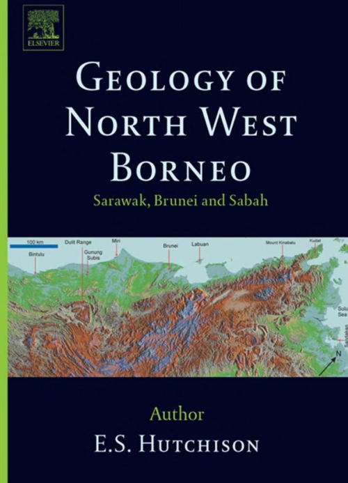
The earlier, mostly non-geological, exploration reports of Borneo have been listed by Worth (1940). The first reliable geological observations on Sabah were by Hatton (1885), a young mineral explorer employed by the Chartered Company of North Borneo. He met a tragic death while hunting along the Segama River. The most significant publication was that of Posewitz (1892), who summarized the earlier writings of geologists who had journeyed through Borneo. Although, he never set foot in Sarawak or Sabah, but had journeyed through Kalimantan. He collected the literature and compiled a geological map of the known parts of Bomeo. The work was unsystematic and is now obsolete. Rutter (1922) described the journeys of some mineral prospectors in his account of Sabah, but he did not mention the real geological explorers. <...>
С тех пор, как Н.С.Шатским была развернута идея о дисимметрич- ом строении земной коры, о различии в тектонической структуре ее Атлантического и Тихоокеанского сегментов, среди геологов нашей страны значительно усилилось внимание к изучению тектоники обрамления впадины Тихого океана. Этой проблемой систематически занимается и группа сотрудников Геологического института Академии наук СССР. В течение нескольких последних лет основные усилия этой группы были направлены на исследования особенностей тектонического строения и развития наиболее молодых тектонических зон, которые почти непрерывным кольцом опоясывают Тихий океан. Такие исследования должны приоткрыть завесу над целым рядом чрезвычайно сложных и нередко уникальных тектонических процессов, протекающих в зоне, отделяющей материки от океана. К их числу относится, например, процесс мощнейшего структурообразования, происходивший на протяжении кайнозойской эры. В высшей степени интересно изучить особенности развития современных геосинклинальных образований.
У нас есть: 33537 книг, 7896 карт, 47 инбоксов. Итого: 41480 материалов