Добрый день, Коллеги. Важное сообщение, просьба принять участие. Музей Ферсмана ищет помощь для реставрационных работ в помещении. Подробности по ссылке
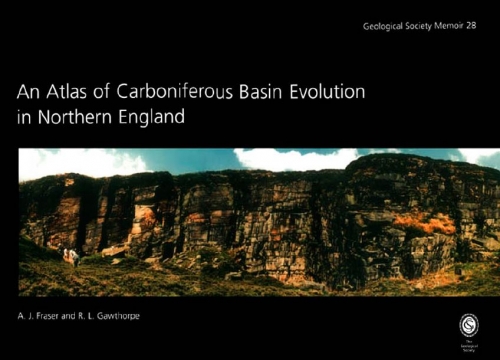
An Atlas of Carboniferous Basin Evolution in Northern England / Атлас эволюции каменноугольных бассейнов в Северной Англии
Why an atlas of the Carboniferous in northern England? There can hardly be a more researched system in the whole of the British Isles, given its widespread distribution at outcrop and annual appearance in numerous PhD theses (including our own). But perhaps all we really know about the Carboniferous is no more than skimming the surface. In this atlas, using modern multifold seismic and borehole data collected by the oil industry in its search for petroleum accumulations, we can start to look beyond the surface exposures and gain some new insights into the structure and stratigraphy of the subsurface (and surface) Carboniferous. The main elements of this atlas are: (i) a series of regional seismic lines crossing all the basinal areas in northern England illustrating the Carboniferous in section, and (ii) a set of palaeofacies maps describing the evolution of the system in map view.
The unique appeal of this atlas of seismic sections is that it is based on data from onshore UK. That is, we can walk the seismic lines at outcrop and in many cases compare exposure to the seismic data and palaeofacies maps. For example, stand on top of Mam Tor in Derbyshire and look eastwards over Hope valley towards Castleton (see frontispiece). Here, we can look out over a Carboniferous basin fill. On the right is an exhumed Dinantian platform margin and, ahead, Namurian Edale Shales form the valley floor. On the left, the north side of the valley is composed of basinal and slope turbidites of the Kinderscoutian, and in the distance, the prominent "gritstone" escarpments are
composed of younger Marsdenian fluvial strata. But what of the basin geometry and the structural-stratigraphic relationships? Now take the Edale Gulf seismic line in this atlas (see frontispiece). The valley marks the position of a Dinantian half graben, and the carbonate platform margin is localized over the footwall of a down-to-the-north normal fault zone. The Namurian mudstones and turbidites onlap the Dinantian carbonates and are post-rift sediments, initially infilling the sediment-starved half graben with post-rift
mudstones and then prograding from the north, once the basin had shallowed sufficiently, to establish fluvial sandstones across the area. The atlas presents a unique collection of onshore seismic data from BP's once-extensive onshore database. Although these lines were originally shot as small segments targeting individual prospects and trends, they have been spliced together to produce a series of basin-scale regional lines which should be of value to academic researchers and industry alike. Unfortunately, since this seismic was collected and compiled, much of the database has been fragmented as BP made the commercial decision to withdraw from active exploration in northern England in the early 1990s. As well as providing a paper record of these data, the atlas can be used as a tool for teaching aspects of stratigraphy, basin analysis and linking outcrop and subsurface studies in one of the classic areas of UK geology. Moreover, much of the data presented in this atlas was collated as part of a major re-assessment of the petroleum potential of northern England. We have therefore included in Chapter 5 a description of the main hydrocarbon play systems in northern England, providing a dataset for teaching the key aspects of play fairway analysis as applied by the oil industry <...>
У нас есть: 33501 книга, 7853 карты, 47 инбоксов. Итого: 41401 материал
Последнее обновление:
19.07.2026

![]()