Добрый день, Коллеги. Важное сообщение, просьба принять участие. Музей Ферсмана ищет помощь для реставрационных работ в помещении. Подробности по ссылке
The geological (endogenic and exogenic) processes operating in interior and exterior domains of earth are bringing dynamic changes in the lithospheric and geomorphic terrains of this planet since its origin. The interplay of magmatic, tectonometamorphic and metallogenic processes is continuously evolving new continental and oceanic plates (blocks) enriched with magmatic plume and economic minerals. The diverging and converging margins of these blocks were stressed and formed orogenic mobile belts and mountains.
This example shows the "multi-track" recording of the interval between 11 396 and 11441 feet of a well drilled in 1972 in a dominantly shaly deltaic series with thin sandy and dolomitic crossbedding.
This atlas is intended primarily for anybody who is interested in basic geology of Africa. Its originality lies in the fact that the regional geology of each African nation or territory is reviewed country-wise by maps and text, a view normally not presented in textbooks of regional geology. It is my belief, that there has long been a need in universities and geological surveys, both in Africa and in the developed world, for summarizing geological maps and an accompanying basic text utilising the enormous fund of knowledge that has been accumulated since the beginning of geological research in Africa in the mid–19th century. I hope that, in part, the present atlas may satisfy this need.
Uranium is a trace element in the earth’s crust. Because of its low content and uneven distribution, the abundance of uranium in the earth’s crust varies greatly. The general value is on the order of parts per million (10−6), while the highest value can reach 10−4. Although it may seem that the content of uranium is minor, In fact, it is higher than that of tungsten, mercury, silver, and other familiar metals, being even thousands of times higher than that of gold!
The Eocene Green River Formation in Wyoming has long served as a standard for lacustrine depositional systems. This lacustrine formation, excluding the culminating phase, was deposited in a closed hydrographic basin. The position of the boundary between lake and mudflat margin was dictated by the inflow evaporation ratio (inflow greater than evaporation = transgression; inflow less than evaporation = regression).
The great surge of interest and activity in exploration for uranium deposits over the last decade has added significantly to our knowledge of uranium geology and the nature of uranium deposits. Much of the information that has been developed by government and industry programmes has not been widely available and in many cases has not had the benefit of systematic gathering, organization and publication. With the current cut-back in uranium exploration and research efforts there is a real danger that much of the knowledge gained will be lost and, with the anticipated resurgence of activities, will again have to be developed, with a consequent loss of time, money and effort. In an effort to gather together the most important information on the types of uranium deposits, a series of reports is being prepared, each covering a specific type of deposit. These reports are a product of the Agency's Working Group on Uranium Geology. This group, which has been active since 1970, has gathered and exchanged information on key questions of uranium geology and co-ordinated investigations on important geological questions. The projects of the Working Group on Uranium Geology and the project leaders are:
Sedimentary Basins and Sandstone Type Deposits — Warren Finch
Uranium Deposits in Proterozoic Quartz-Pebble Conglomerates — Desmond Pretorius
Vein Type Uranium Deposits — Helmut Fuchs
Proterozoic Unconformity and Stratabound Uranium Deposits — John Ferguson
Surficial Deposits — Dennis Toens
The success of the projects is due to the dedication and efforts of the project leaders and their organizations, and the active participation and contribution of world experts on the types of deposits involved. The Agency wishes to extend its thanks to all involved in the projects for their efforts. The reports constitute an important addition to the literature on uranium geology and as such are expected to have a warm reception by the Member States of the Agency and the uranium community, world-wide.
A special word of thanks is extended to Warren Finch for his work in organizing and guiding this project and for editing the text, and to Jim Davis for his participation in the editing of this report on sandstone type uranium deposits.
The Republic of Georgia encompasses pan of the Alpine Himalayan fold belt; it extends from the northern slope of the Greater Caucasus to the Lesser Caucasus in the south, a geologically complex zone sandwiched between two lithospheric plates, the Afro-Arabian (Gondwana) and the Eurasian plates. More specifically it consists of the Greater Caucasus Range
to the north and the Transcaucasus to the south (Fig.l). The sutured boundary (the Sevan-Акега zone) lying between the Transcaucasus and the Lesser Caucasus to the south is effectively the northern margin of Gondwana. The northern boundary, between the Caucasus Mountains (sensu stricto) and the Scythian Platform, the southerly projection of the Russian Platform, is less clearly defined due to the superposition or panial superposition... <...>
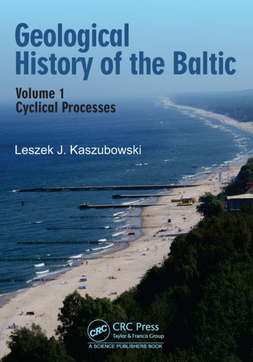
The book presents the geological evolution of the Baltic Sea area from the late Pleistocene, throughout the Holocene up to the modern times. A very detailed evolution of the Baltic Sea has been presented for the area of the Polish basin. Calculated by the author on the basis of geological research, the climatic cycle of the Earth allows better understanding of climatic changes and associated geological processes in the last 20,000 years on the area of the northern Poland and the Baltic Sea Basin.
THIS book is intended for the use of students studying geology for the first time, particularly those entering the Advanced Level and First Year University examinations. It is not in any way an exhaustive treatise on geological maps, but is meant to serve as an introduction to their interpretation and solution. The book should not be regarded as an end in itself, nor should the somewhat mechanical manner of this early treatment be more than a means of developing the capacity for the three-dimensional viewing of a geological map and an appreciation of the patterns developed in rock relationships. Diagram maps must lead very quickly to the study of geological maps of specific areas of country: the ideal maps for such study are those produced by the Geological Surveys of such countries as Great Britain, Australia and the Americas.
My thanks are due to Professor F. H. T. Rhodes and to Dr. R. L. Austin for reading the manuscript and making many helpful suggestions. I would also thank Mrs. Greir Lewis for her help in the preparation of some of the diagrams and the Secretarial staff of University College, Swansea, for their help in typing the manuscript. I owe a particular debt of thanks to Mr. H. McKee who has prepared the index, and to Dr. K. G. Stagg who has read the proofs and helped in correcting them.