Добрый день, Коллеги. Важное сообщение, просьба принять участие. Музей Ферсмана ищет помощь для реставрационных работ в помещении. Подробности по ссылке
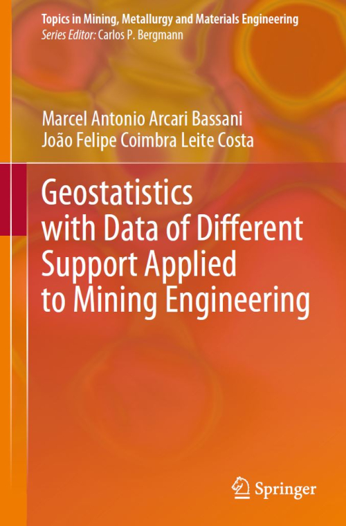
Geostatistical techniques are extensively used for mineral resources assessment, including grade estimation and uncertainty analysis. Support is the term used in Geostatistics to describe the size or volume of a sample. For example, suppose a grade sample obtained from diamond drill holes (DDH). In this case, the support is a function of the core’s radius and length.
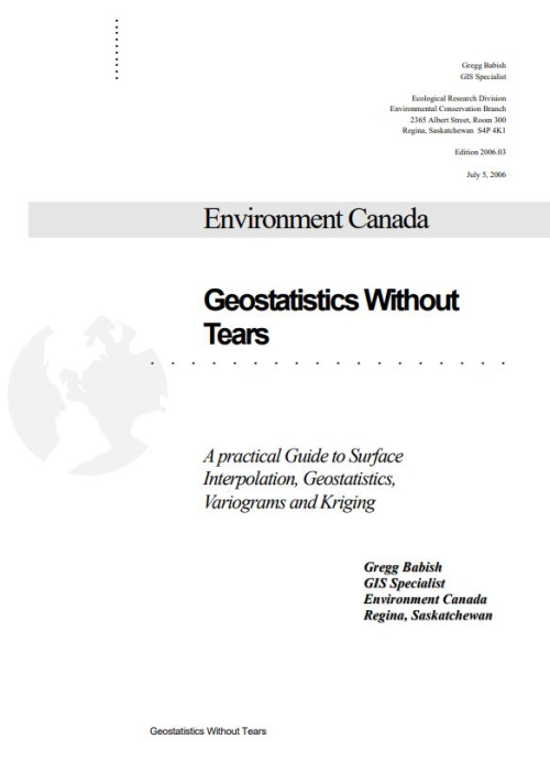
Geostatistics (also known as kriging) was developed for the mining industry during the 1960s and 1970s to estimate changes in ore grade. The principles of geostatistics are now applied to many applications that require statistically based interpolation techniques. Geostatistics provides a data value estimate for locations that cannot be sampled directly by examining data taken at locations that can be sampled.
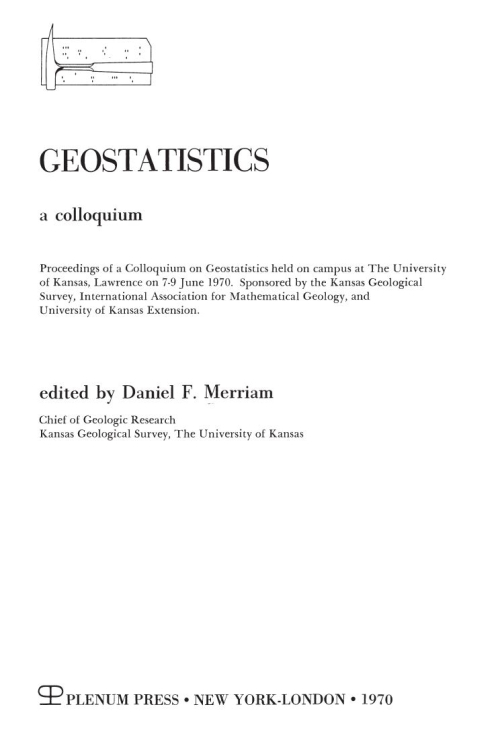
Although geologists have used statistical analysis in their research for many years, only recently has geostatistics, as a creative tool in the geosciences, received the attention it deserves. Even now many geologists are unaware of the tremendous power statistical methods offer. Today earth scientists can use summary statistics for large data bases, frequency distributions, sampling designs and problems, and applications of stochastic models and use them in dynamic ways for research and developm·ent.
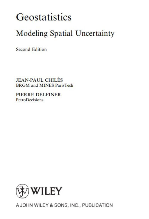
Geostatistics aims at providing quantitative descriptions of natural variables distributed in space or in time and space. Examples of such variables are
Ore grades in a mineral deposit
Depth and thickness of a geological layer
Porosity and permeability in a porous medium
Density of trees of a certain species in a forest
Soil properties in a region
Rainfall over a catchment area
Pressure, temperature, and wind velocity in the atmosphere Concentrations of pollutants in a contaminated site
The main developments during four decades of geostatistical applications on the Witwatersrand-type gold deposits are reviewed and critically compared with a view to highlighting the progress made to date. The basic techniques - from the preliminary borehole valuation of mining properties to the block estimating of ore reserves and foreseeable recoveries are analysed and the prospects for methodological improvements are discussed.
Welcome to physical geography and the fifth edition of Geosystems! We begin this new century with a sense that the world community is responding to global concerns as to the status and conditions of Earth's physical, biological, and chemical systems. The globalization of the world economies seems paralleled by a global scientific inquiry into the state of the environment. Marking this awareness is the second Earth Summit held in 2002 in]oham1esburg, South Africa, with an agenda including climate change, freshwater, and the five Rio Conventions, among other topics. <...>
Welcome to the tenth edition of Geosystems! This edition features updated content, new active learning activities to engage students, and many new photos and illustrations. We continue to build on the success of the first nine editions, as well as the companion texts, Elemental Geosystems, now in its eighth edition; Geosystems, Canadian Edition, fourth edition; and the newest Geosystems Core, first edition. Students and teachers appreciate the systems organization, integration of figures and text, and overall relevance to what is happening to Earth systems in real time. Geosystems continues to tell Earth’s story in studentfriendly language. <...>
Site characterization is a fundamental step towards the proper design, construction and long term performance of all types of geotechnical projects, ranging from foundation, excavation, earth dams, embankments, seismic hazards, environmental issues, tunnels, near and offshore structures. The Fourth International Conference on Site Characterization (ISC’4) was held near the beautiful coastal town of Porto de Galinhas, Pernambuco – Brazil, from September 18-21, 2012, under the responsibility of TC-102/TC-16 on In-Situ Testing of the International Society for Soil Mechanics and Geotechnical Engineering (ISSMGE), the Brazilian Society for Soil Mechanics and Geotechnical Engineering (ABMS), and the Federal University of Pernambuco, Brazil (UFPE). The fourth conference followed the successful series of international conferences held in Atlanta (ISC-1, 1998), Porto (ISC-2, 2004), and Taipei (ISC-3, 2008).
This unique congress brings together the best of what the Geotechnical Engineering Institute and the Structural Engineering Institutes have to offer. In celebration of both Institutes twentieth anniversary we joined together to offer the attendees a great opportunity to exchange knowledge and network with colleges from another engineering institute. The joint congress features a robust technical program of sessions focusing on geotechnical, structural, professional practice, and blended topics. <...>
Technical Committee 204: “Underground Construction in Soft Ground” of the International Society for Soil Mechanics and Geotechnical Engineering (ISSMGE) was first established as TC28 in 1989 to provide a forum for interchange of ideas and discussion amongst representatives from different countries with an active interest in tunnelling and deep excavations in the urban environment. In 1994, under the Chairmanship of Prof. Keiichi Fujita, TC28 organised its first symposium as a satellite event to the ISSMGE International Conference in New Delhi.