Добрый день, Коллеги. Важное сообщение, просьба принять участие. Музей Ферсмана ищет помощь для реставрационных работ в помещении. Подробности по ссылке
Описано и изображено 188 стратиграфически важных и широко распространенных в меловых отложениях Сахалина видов, принадлежащих трем rpynnai фауны: аммоноидеям, иноцерамидам, радиоляриям. Значительная их часть в нашей литературе публикуется впервые.
В стратиграфическом разделе рассмотрена зональная схема биостратиграфш меловых отложений Сахалина по трем перечисленным группам фауны. В этой схеме разработанные региональные шкалы по иноцерамидам, аммоноидеям и радиоляриям сопоставлены между собой и с международной шкалой. Она пред ставляет собой обновленный и усовершенствованный макет унифицированное части стратиграфической схемы Сахалина.
Для геологов-съемщиков, стратиграфов и палеонтологов, а также будет полезна студентам геологических специальностей.
Книга рассказывает о драгоценных и полудрагоценных камнях, причем основной акцент сделан на их месторождениях. Читатель узнает, где добывают самые высококачественные изумруды, какие качества делают рубины «бирманскими» независимо от их происхождения, какой минерал называют марра мамба, где его добывают и много других интересных фактов. Книга разделена на две части. В первой описаны восемнадцать широко распространенных самоцветов, встречающихся в различных регионах мира. Вторая часть посвящена шестидесяти используемым в ювелирном деле минералам, которые добывают лишь в некоторых местах на нашей планете. Приведенные в книге карты помогут визуально составить впечатление о топографии соответствующих месторождений.
In a recent review article, Groves et al. (1998) suggested that lode-gold deposits worldwide, which have been variously termed mesothermal, turbidite-hosted, slate-belt hosted, greenstone-hosted, Mother lode-type or gold-only deposits, are a coherent group of gold deposits with a common origin.
Впервые обобщен и систематизирован палеонтологический материал от кембрия до мела, накопленный за 50 лет исследований в Забайкалье. Основная часть работы посвящена монографическим описаниям форамини- фер, археоциат, трилобитов, двустворчатых и головоногих моллюсков, мшанок, брахиопод, криноидей, коно- донтов, фитолитов, водорослей, листовой флоры, спор из разновозрастных отложений фанерозоя. Рассмотрено состояние изученности различных групп органических остатков, составлены таблицы распространения видов, схемы биостратиграфического расчленения и корреляции по фауне и флоре, приведена краткая характеристика местных и региональных стратиграфических подразделений.
Монография представляет интерес для геологов, палеонтологов, стратиграфов, а также преподавателей и студентов высших учебных заведений.
The recent progress in geodynamics has revolutionised our concept regarding the genesis of ultrabasic and basic rocks. In contrast to the explanation that the ultrabasics are differentiation products of a basaltic magma, mantle diapirism or oceanic crust-upper mantle obductions are put forward as explanations for the origin of ultrabasic complexes and rock types.
Inadequate observation of sedimentary structures has been responsible for incorrect interpretation of the order of superposition in deformed beds and this has led, in turn, to gross errors in stratigraphy and structure. Failure to recognize and utilize those structures which indicate direction of current flow has also led to incorrect, or at least incomplete, understanding of basin development.
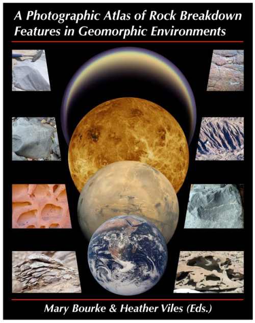
A primary goal of geomorphological enquiry is to make genetic associations between process and form. In rock breakdown studies, the links between process, inheritance and lithology are not well constrained. In particular, there is a need to establish an understanding of feature persistence. That is, to determine the extent to which in situ rock breakdown (e.g., aeolian abrasion or salt weathering) masks signatures of earlier geomorphic transport processes (e.g., fluvial transport or crater ejecta). Equally important is the extent to which breakdown during geomorphic transport masks the imprint of past weathering (Viles et al., 2005). <...>
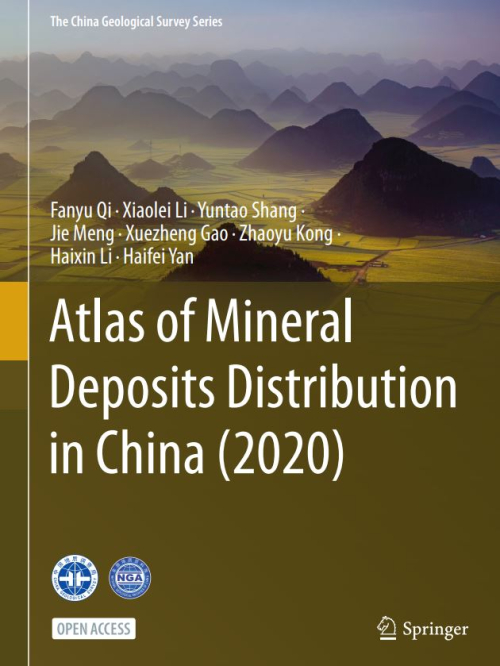
Mineral resources are of great strategic significance since they matter in every aspect of social and economic development. However, existing mineral resources are unlikely to support sustainable economic development given the planning and construction of urbanization in China.
Examination of thin sections under the microscope is a key part of any study of carbonate sediments, as a companion to field or core logging, and as a necessary precursor to geochemical analysis. This book is designed as a laboratory manual to keep beside the microscope as an aid to identifying grain types and textures in carbonates.