Добрый день, Коллеги. Важное сообщение, просьба принять участие. Музей Ферсмана ищет помощь для реставрационных работ в помещении. Подробности по ссылке
В монографии обсуждается природа упругой анизотропии скоростей распространения продольных волн в атмосферных условиях и ее изменение под одноосным и всесторонним давлением. Рассматриваются примеры приложения метода исследований упругих свойств к анализу структур и восстановлению условий формирования интрузивных тел. Особое внимание уделено вопросу зарождения и развития трещинных структур при неравномерном сжатии и залечивании их под воздействием температуры. На основании экспериментальных исследований по деформации кристаллических пород и изучению физических свойств по-разному деформированных грани-тоидов в рудных районах приводятся данные, показывающие, что движение гидротермальных растворов является следствием деформационных преобразований.
В работе рассматриваются закономерности возникновения слоистых текстур в осадках и их трансформация при процессах метаморфизации. Анализируются пределы применения методов исследования осадочно-метаморфических пород из разных зон - от зеленосланцевой до амфиболитовой. Количество этих методов и их информативность уменьшаются по мере увеличения степени метаморфизма пород. Обосновывается выделение формаций в древних метаморфических комплексах и их сопоставление с формациями фанерозоя. Обсуждаются проблемы комплексного изучения древних толщ, приводится пример сравнительного формационного анализа.
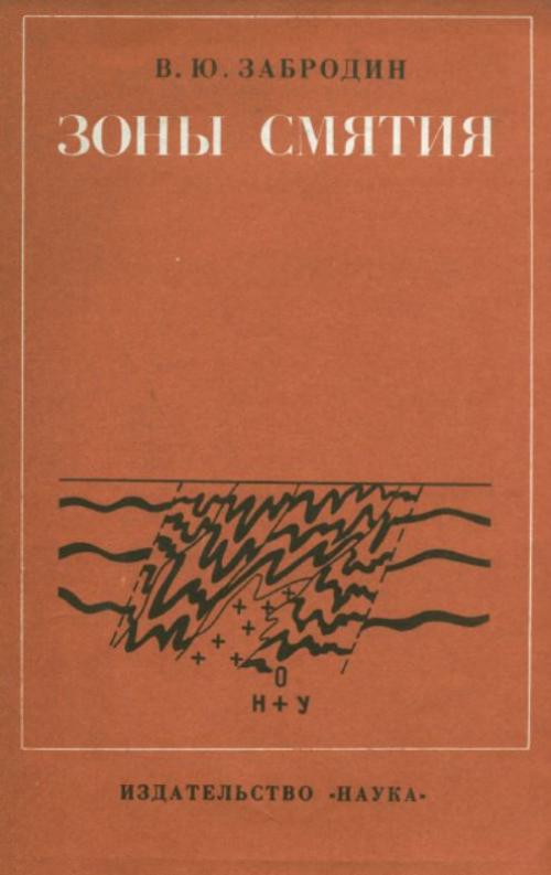
На основе анализа многочисленных объектов разработано понятие "она смятия" и дана классификация подобных зон с подразделением на "морфологическую" и "генетическую". Зоны смятия рассматриваются как структурный элемент глубинных разломов складчатых областей, поэтому книга интересна для геологов, занимающихся тектоникой, геофизикой и металлогенией.
На основе изучения морфологии, геологин, геометрии и ориентировки складчатых форм и структурных элементов в книге излагается методика исследования наложенных деформаций. В первом разделе рассматриваются структурные элементы метаморфических горных пород и их значение при изучении наложенной складчатости (первично-осадочные текстуры, полосчатость, сланцеватость, складки, линейность). Второй раздел посвящен геометрическому анализу. Сформулированы задачи, решаемые с помощью геометрического анализа, дано их решение. Рассмотрена стереогеометрия цилиндрических и конических складок, геометрический анализ структурных данных на площади и др. В третьем разделе излагаются особенности наложенных складчатых структур. Рассматриваются признаки наложенных деформаций, методические приемы установления последовательности деформаций, возрастные взаимоотношения складок между собой, складок и сланцеватости, линейности, даек, жил, метаморфогенного минералообразования и ультраметаморфизма
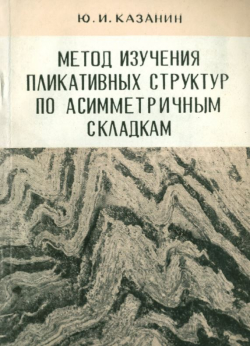
В книге рассматривается метод изучения стратиграфической последовательности пород и пликативных структур по рисункам и ориентировке конгруэнтных асимметричных складок разного порядка. В ней освещается история развития представлений о структурном картировании по складкам волочения, начиная с правила Дейла—Пампелли до введения понятия о морфологических рисунках складок. Высказываются новые положения о соотношениях крупных и осложняющих их дополнительных складок, формулируется ряд правил для определения по асимметричным складкам опрокинутого и нормального залегания пластов, для правильного отображения складок на разрезах и т. д. Эффективность применения метода иллюстрируется конкретными примерами по Джунгарскому Алатау, горам Кендыктас, рудному полю Колар. Книга рассчитана на геологов, изучающих стратиграфию и структуры складчатых зон, рудных полей и месторождений.
В работе дано определение предмета структурной морфометрии, краткая история ее развития и теоретическая основа метода. Изложена методика построения и интерпретации морфометрических карт. Большое внимание уделено описанию основных результатов применения морфометрии при поисках полезных ископаемых, особенно нефти и газа, а также подземных вод, россыпей и рудных месторождений. Описан морфометрический метод выявления новейших и современных движений земной коры. В конце книги приведены подробные выводы, обобщающие теоретические положения автора.
В методическом руководстве изложены основы полевой диагностики тектонических и флюидоразрывных признаков кимберлитовмещающих структур, которая должна проводиться при изучении керна всех поисковых скважин, вскрывающих нижнепалеозойские терригенно-карбонатные отложения в Западной Якутии. Показаны признаки тектонических нарушений, возникших в условиях растяжения, сжатия и безамплитудных деформаций не однозначной природы. Описаны проявления эруптивных брекчий базитов, флюидоразрывных карбонатных брекчий и прожилков. Рассмотрена их вторичная минерализация. Приведены примеры пространственной связи алмазоносных кимберлитов Накынского поля с проявлениями сдвигов и флюидоразрывных образований. Охарактеризованы модели рудоконтролирующих сдвигов и фреатовулканических взрывов, с которыми связывается образование кимберлитов.
Работа в основном является оригинальной; в ней автор делится своим богатым опытом но структурной документации золоторудных и некоторых других месторождений; даются рекомендации но эффективному проведению поисково-разведочных и оценочных работ на золоторудных месторождениях.
Книга является первой сводкой по геологии и структуре магматических комплексов центрального типа. В ней показано широкое распространение и геологическое положение таких комплексов в основных структурах континентов. Обобщены сведения о составе горных пород этих комплексов, о времени и геологических условиях их формирования.
Книга представляет краткое руководство по структурной геологии и геологическому картированию и состоит из трех частей: общей (вводной) и двух специальных. В первой части изложены содержание и методы изучения структурной геологии и геологического картирования в целом, приведены общие сведения о топографической и геологической графике и механизме деформаций горных пород.