Добрый день, Коллеги. Важное сообщение, просьба принять участие. Музей Ферсмана ищет помощь для реставрационных работ в помещении. Подробности по ссылке
The study of geological characteristics of low-sulfidation epithermal deposits (LSED) elsewhere and in the Deseado Massif, and Fry analysis (point pattern analysis) of spatial distributions of LSED in the study area were carried out to determine geological controls on LSED that could be used as spatial evidences for predictive mapping of LSED potential on regional and district scales.
Originally, this book was the first attempt to synthesize knowledge on the theory, methods, and applications of digital terrain analysis in the context of multiscale problems in soil science and geology. The content of this book is based on the author’s long-standing, interdisciplinary research. Since the preparation of the first edition in 2010–11, considerable progress has been made in digital terrain modeling.
Nowadays, many surficial mineral deposits are being mined out, leaving only deep-seated mineral deposits for feeding raw materials into the industry. Therefore techniques applied to mineral exploration need to be revisited for discovering new mineral resources, which may be located in harsh and remote regions. Over the past decades, remote sensing technology and geographic information system (GIS) techniques have been incorporated into several mineral exploration projects worldwide. This aim is to bridge the knowledge gap for the geospatial-based discovery of buried, covered, and blind mineral deposits. This book details the main aspects of the state-of-the-art remote sensing imagery, geochemical data, geophysical data, geological data, and geospatial toolbox required to explore ore deposits. It covers advances in remote sensing data processing algorithms, geochemical data analysis, geophysical data analysis, and machine learning algorithms in mineral exploration. It also presents approaches on recent remote sensing and GIS-based mineral prospectivity modeling, which offer a piece of excellent information to professional earth scientists, researchers, mineral exploration communities, and mining companies <...>
В настоящем издании публикуются материалы первой в Казахстане научной конференции по применению математических методов в геологии. Статьи посвящены актуальным вопросам применения математических методов при региональных и металлогенических исследованиях, поиска и разведки месторождений полезных ископаемых, подсчета запасов минерального сырья, изучения тектонических и фильтрационных процессов в земной коре, а также вопросам методологии геологической науки и формализации геологических понятий. В сборнике нашли отражение как давно применяемые в геологии методы математики, математической статистики и теории вероятностей, так и некоторые новые методы, например дискретного анализа, теории статистических решений, теории распознавания образов и другие. Издание представляет интерес для широкого круга геологов, геохимиков, геофизиков.
Электронный учебно-методический комплекс (ЭУМК) создан для возможности самостоятельного изучения теоретических основ, методов и технологий современных геоинформационных систем, используемых в горном деле, а также для приобретения умений использовать ГИС-пакеты в работе по построению цифровых карт и последующему анализу цифровых моделей массива горных пород. ЭУМК предназначен как для самостоятельной подготовки студентов очной и заочной формы обучения, так и для проведения практических занятий со студентами, имеющими различный уровень подготовки.
Освещены общие вопросы геоинформатики, функциональные возможности горно-геологической информационной системы Micromine, основные технологические приемы создания объемных цифровых моделей геологических тел в процессе разведки месторождений полезных ископаемых.
Предназначено для студентов специальности 210502 «Прикладная геология» специализации «Геологическая съемка, поиски и разведка месторождений твердых полезных ископаемых», для специалистов геологоразведочных организаций
Collecting quantitative data to support geological analysis and modelling is nowadays a fundamental requirement in all geology disciplines, including structural geology, stratigraphy, and geomorphology, on the Earth and on planetary bodies of the Solar System. In many cases the answer to this need is a Digital Outcrop Model (DOM), a Digital Elevation Model (DEM), or a Shape Model (SM): this can be a digital representation of an outcrop or topographic surface, or of a whole small body (asteroid or comet nucleus) for an SM, generally combined with imagery, that can be quantitatively visualized andstudied in 3D, with the goal of obtaining quantitative measurements.
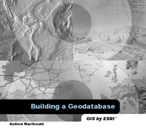
The geodatabase supports a model of topologically integrated feature classes, similar to the coverage model. It also extends the coverage model with support for complex networks, relationships among feature classes, and other object-oriented features. The ESRI® ArcGIS applications (ArcMap, ArcCatalog, and ArcToolbox) work with geodatabases as well as with coverages <...>
1.The geochemistry of wall rock alteration in turbidite-hosted gold vein deposits, Central Victoria, Australia / Геохимия измененных турбидитов, вмещающих жильные месторождения золота, Центральная Виктория, Австралия. Gao Z.L., Kwak T.P.A., 1996
2.Gold–anomalous catchment basin: a GIS prioritization model considering drainage sinuosity / Золото-аномальная область водосбора: модель определения приоритетов в ГИС с учетом геометрии водотоков (извилистости). Seoane J.C.S., Silva A. de B., 1999
3.Multidata set analysis for gold-deposit exploration criteria: application in the Catalonian Coastal Ranges (NE Spain) / Анализ наборов данных для определения критериев изучения золоторудных месторождений: применение в прибрежных районах Каталонии (Северная Испания). Viladevall M., Font X., Carmona J.M., 1999