Добрый день, Коллеги. Важное сообщение, просьба принять участие. Музей Ферсмана ищет помощь для реставрационных работ в помещении. Подробности по ссылке
The state of Maharashtra is located in the country’s peninsular shield region, with hard rock formations covering around 94% of the total geographical area and sedimentary and alluvial deposits covering the remaining 6%. Basaltic lava flows cover around 80% of the state, with overlying alluvium confined to places near major rivers and streams. Alluvial deposits of shallow thickness, consisting of gravely, sandy, and clayey mixtures, are found in abundance along stream courses. With an estimated extent of 5,18,000 sq. km, Deccan Traps is one of the world’s largest accumulations of continental flood basalt.
Минералогические вариации элементов платиновой группы в измененном хромитите расслоенного магматического комплекса Кондапалли (Южная Индия): влияние на эволюцию магматизма и его петрогенетическое значение
Platinum Group Minerals (PGMs) associated with Chromite form in a wide range of geotectonic settings, namely, (1) stratiform or layered magmatic complexes, (2) podiform complexes in ophiolites, (3) the Alaskan zoned complexes and (4) Chromite-rich Archean complexes are also called ‘conduit-type’ (Mondal and Baidya, 1997; Auge et al., 2002; Ahmed and Arai, 2003; Economou-Eliopoulos, 2010; Mukherjee et al., 2012; Mungall, 2014; Peck and Huminicki, 2016; O’Driscoll and González-Jimenez, 2016; Prichard et al., 2017a-b; Mondal et al., 2019).
Petroleum (oil and gas) is the source of more than 50% of our current global energy supplies. The combination of essential geological elements and processes that enable oil and gas to be generated and to accumulate in deposits is described as the petroleum system. Rigorous analysis of the petroleum systems in a basin is an essential requirement to assess the hydrocarbon prospectivity. Hydrocarbon potential in different sedimentary basins and evaluation through petroleum systems is an integral part of the workflow in the present hydrocarbon industry.
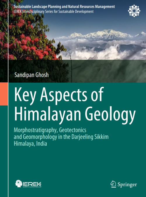
The Eastern Himalaya begins in the Darjeeling-Sikkim Himalaya (DSH). It is situated between Nepal and Bhutan to the east and west, respectively. The third highest mountain on Earth, Kanchenjunga (8586 m elevation from mean sea level), is shared between Sikkim and Nepal in the west, while the Yadong-Gulu rift graben is flanked by the ridge line that forms Sikkim’s eastern boundary. The DarjeelingSikkim Himalaya’s northern limit is defined by the South Tibet Detachment (STD) system, which includes a tiny piece of the Tibetan plateau, while its southern boundary is defined by the Main Frontal fault system.
Автор данного обзора в период служебной командировки в Индию с 12 ноября по 18 декабря 1972 г. - в составе группы экспертов цветной металлургии-ознакомился с обширным материалом по геологии и полезным ископаемым Индии, состоянием и перспективами развития геологоразведочных работ, а также горнодобывающей промышленности в стране.
Rapid industrialization during the Five-Year Plan periods has brought about a considerable boost in the mineral development programmes in India. During the last decade, significantly enough, its contribution to the national economy has trebled: while in the First Plan period it was about Rs. 470 crores, it rose to nearly Rs. 1,500 crores by the end of the Third Plan.
Introduction to Geodynamics of the Indian Plate: Evolutionary Perspectives Sampat K. Tandon and Neal Gupta Evolving Early Earth: Insights from Peninsular India M. Jayananda, S. Dey, and K. R. Aadhiseshan Tracking India Within Precambrian Supercontinent Cycles Sarbani Patranabis-Deb, Dilip Saha, and M. Santosh Proterozoic Sedimentary Basins of India Partha Pratim Chakraborty, S. K. Tandon, Sagnik Basu Roy, Subhojit Saha, and Pritam P. Paul Oxygenation of Early Atmosphere and Potential Stratigraphic Records from India Joydip Mukhopadhyay
The declaration of National Mineral Policy 2008, amendments to MMDR Act 2015, and recent reforms in mining legislation viz. MEMC Rules 2015, National Mineral Exploration Policy 2016, Mineral Auction Rules 2015, NMET Rules 2015, and Mineral Concession Rules 2016 etc. were primarily aimed at attracting private investment and the latest technology in the mineral sector, assurance of uniform lease period, dealing with low exploration expenditure and eliminating procedural delays.