Добрый день, Коллеги. Важное сообщение, просьба принять участие. Музей Ферсмана ищет помощь для реставрационных работ в помещении. Подробности по ссылке
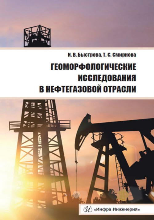
Рассматриваются типы и методы проведения полевых и камеральных геоморфологических исследований. Показаны принципы геоморфологического картографирования и морфометрического анализа рельефа. Излагаются разнообразные методы общего геоморфологического анализа. Освещен вопрос изучения современной динамики рельефа с целью прогнозирования нефтегазоносности. Обозначено практическое значение палеогеоморфологического анализа в нефтегазовой отрасли. Для студентов и аспирантов, изучающих геологию. Может быть полезно преподавателям и работникам нефтегазовой отрасли и топливно-энергетического комплекса.
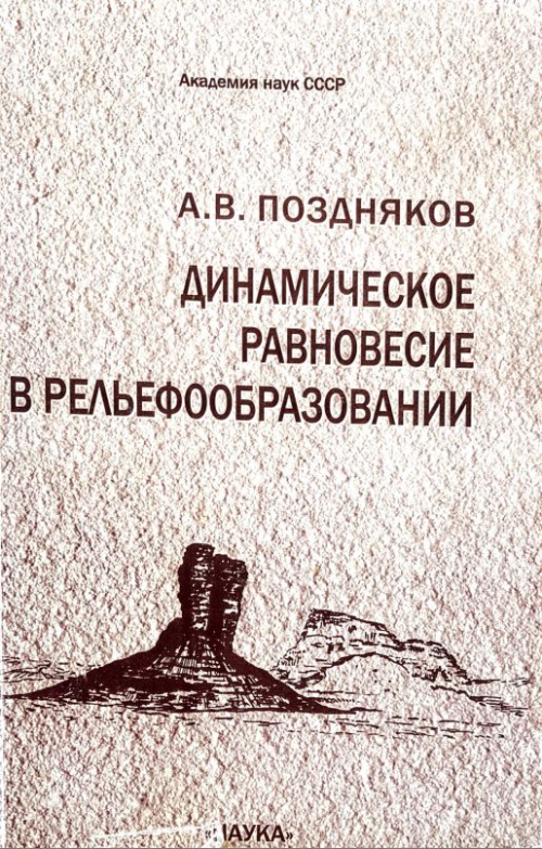
В книге описаны механизмы авторегуляции и динамического равновесия в процессах образования рыхлого покрова за счет выветривания горных пород и денудации; в развитии дефлюкционных и насыпных склонов, нагорных террас. Рассматривается механизм образования простой и сложной поверхностей равновесия вследствие эрозионного расчленения территории; охарактеризован процесс формирования поймы и составлена модель ее развития с учетом периодов движения пойменных массивов и островов. Описаны условия, при которых может устанавливаться состояние динамического равновесия в формировании берегов вследствие абразии волн. В книге заложены основы для разработки имитационных математических моделей динамики форм рельефа.
Various branches of physics and earth sciences have been studied from the point of view of mathematical morphology and its applications, but for the first time a whole book is devoted to a morphological approach to structural geology. In this sense, it fits in with a long tradition since the two founders of mathematical morphology were both mining engineers.
Landforms and landscapes vary enormously across the Earth, from high mountains to endless plains. At a smaller scale, Nature often surprises us by creating shapes which look improbable. Many physical landscapes are so immensely beautiful that they have received the highest possible recognition—they hold the status of World Heritage properties. Apart from often being immensely scenic, landscapes tell stories which not uncommonly can be traced back in time for tens of million years and include unique events.
Разработка проблемы природопользования одна из центральных в географической науке. В одну из них входит вопрос оценки устойчивости в развитии рельефа и определения мер безопасности антропогенной деятельности. Для этого используется метод геоморфологического картографирования, и, прежде всего, создания крупномасштабных карт. Последнее обстоятельство требует конкретных знаний о возникновении, строении и устойчивости форм рельефа и их граней, а также знаний о динамике и механизмах преобразования рельефа. Карты такого рода относятся к группе специальных аналитических карт. <...>
На территории Краснодарского края высокая степень пораженности оползневыми процессами наблюдается вдоль уступов высоких террас крупных рек, одной из которых является крупнейшая водная артерия края - река Кубань. По ее долине со времен освоения Кавказа были заложены многочисленные населенные пункты, переросшие в города, имеющие в настоящее время важное народно хозяйственное значение. Большинство из оползней, отмечаемых в среднем течении реки, развиты в пределах населенных пунктов, в условиях повышенной техногенной нагрузки.
Строительство и эксплуатация многочисленных объектов народного хозяйства требует на предпроектной и проектной стадиях проведения инженерно-геологических и инженерногеоморфологических изысканий и картирования с построением карт опасных геологических процессов и геоморфологического риска. Единая и унифицированная методика создания подобных карт фактически не разработана.
Селеопасность Черноморского побережья Кавказа неоднократно становилась причиной катастрофических разрушений и человеческих жертв. Первые осознанные упоминания о прошедших здесь селевых катастрофах встречаются уже в конце XIX века [Воейков, Пастернацкий, 1898].
Важнейшие тенденции современного развития геоморфологии в последние несколько десятилетий - ее динамизация и экологизация. Существенное место в изучении геоморфологических и геоэкологических процессов занял количественный подход. Одной из общегеоморфологических и общегеографических проблем этого направления является оценка пространственной изменчивости стока растворенных веществ рек и на основе этого показателя - величины химической денудации. Попытки решить эту проблему на глобальном уровне предпринимались еще с позапрошлого века на очень ограниченном фактическом материале. Появление новых данных по стоку растворенных веществ, новых методических и технических подходов к их обработке определили необходимость нового обобщения по этой тематике <...>
Большой Кавказ является одной из наиболее изученных горных систем России. Вопросу его геологического строения и рельефа посвящен ряд фундаментальных исследований общего и регионального характера, сделавших его эталоном изучения молодых складчатых орогенов. Однако Северо-Западный Кавказ отстает от других регионов Большого Кавказа в отношении геолого-геоморфологической изученности.