Добрый день, Коллеги. Важное сообщение, просьба принять участие. Музей Ферсмана ищет помощь для реставрационных работ в помещении. Подробности по ссылке
Данное руководство представляет собой учебное пособие для изучения на тренингах программного обеспечения GEOVIA Surpac при использовании его на открытых горных работах. В нем описан весь основной функционал Вводного курса GEOVIA Surpac
RSData - это универсальный набор инструментов для анализа данных прочности горных пород и грунта, а также определения диапазонов прочности и других физических параметров. RSData включает RocProp, базу данных свойств ненарушенных горных пород, работающую как отдельное приложение. Определите параметры линейных и нелинейных диапазонов прочности для породы и грунта на основе анализа данных прочности на трехосный или прямой сдвиг. Используйте четыре из наиболее широко используемых в инженерной геологии моделей прочности -обобщенные модели Хука-Брауна, Мора-Кулона, Бартона-Бандиса и кривую мощности.
RS3 - это новая программа для трехмерного анализа геотехнических конструкций для гражданских и горных работ. Применимая как для горных пород, так и для грунта (RS3 = программа трехмерного анализа горных пород и грунта), RS3 представляет собой универсальную программу анализа методом конечных элементов для подземных выработок, проектирования туннелей и опор, выработки грунта, проектирования фундаментов, насыпей, уплотнения, просачивания грунтовых вод и другое.
RS3 использует эффективный алгоритм для анализа 3D FEM-анализа с различными доступными опциями сетки. В зависимости от настроек сетки RS3 оптимизирует использование памяти в движке для анализа. Для больших и сложных 3D-моделей важно обращать внимание на использование памяти программным обеспечением с различными настройками. <...>
RS2 (Ранее RS2 или Phase2) - это мощная 2D-программа конечных элементов для применения в грунтах и горных породах. RS2 может использоваться для широкого спектра инженерных проектов, включая проектирование земляных работ, устойчивость склонов, просачивание грунтовых вод, вероятностный анализ, консолидацию и возможности динамического анализа.
В учебно-методическом пособии по геологии природных битумов и высоковязких нефтей и геологии нефти и газа «Применение пакета программ SURFER для обработки и визуализации геофизических данных» содержатся 4 главы, в которых изложены основные аспекты для создания сеточных данных, построения карт изолиний и их трехмерных изображений. Данное учебно-методическое пособие содержит 20 вариантов заданий.
Пособие предназначено для студентов всех форм обучения по направлению подготовки дипломированных специалистов 130500.65 «Нефтегазовое дело» по специальности 130503.65 «Разработка нефтяных и газовых месторождений»
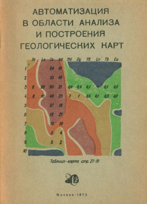
Излагается метод автоматического вычерчивания изолиний геолого-геофизических полей. Приводится алгоритм и операторная схема, по которым возможно составление программ для любых ЭЦВМ. Прилагается программа для ЭЦВМ типа М-20, М-220, БЭСМ-3, БЭСМ-4. Исходными данными могут быть значения геолого-геофизической функции, заданные в узлах равномерной прямоугольной сетки. Результаттивные значения выдаются на графопостроитель , который осуществляет вычерчивание изолиний отрезками прямых.
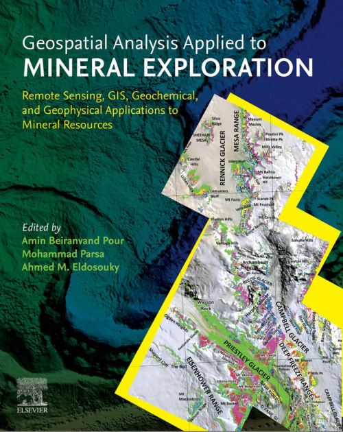
Nowadays, many surficial mineral deposits are being mined out, leaving only deep-seated mineral deposits for feeding raw materials into the industry. Therefore techniques applied to mineral exploration need to be revisited for discovering new mineral resources, which may be located in harsh and remote regions. Over the past decades, remote sensing technology and geographic information system (GIS) techniques have been incorporated into several mineral exploration projects worldwide. This aim is to bridge the knowledge gap for the geospatial-based discovery of buried, covered, and blind mineral deposits. This book details the main aspects of the state-of-the-art remote sensing imagery, geochemical data, geophysical data, geological data, and geospatial toolbox required to explore ore deposits. It covers advances in remote sensing data processing algorithms, geochemical data analysis, geophysical data analysis, and machine learning algorithms in mineral exploration. It also presents approaches on recent remote sensing and GIS-based mineral prospectivity modeling, which offer a piece of excellent information to professional earth scientists, researchers, mineral exploration communities, and mining companies <...>
В статьях сборника ставятся новые вопросы и проблемы автоматизации анализа и построения геологических карт с применением ЭВМ, оптических анализаторов, координатографов. Особенно актуальное значение это имеет для карт территорий со сложным геологическим строением, которым отличаются районы с редкометальной минерализацией. В статье по проблемам автоматического анализа геологических карт затронуты методические и технические вопросы и дано несколько примеров автоматического и полуавтоматического анализа с применением ЭВМ и специальной аппаратуры. В другой статье дано применение тренда при оптико-минералогическом картировании.