Добрый день, Коллеги. Важное сообщение, просьба принять участие. Музей Ферсмана ищет помощь для реставрационных работ в помещении. Подробности по ссылке

Поиск по книгам
Редактор(ы):Aramaki S., Garcia M.O., Lipman P.W., Naka J., Takahashi E.
Издание:American Geophysical Union, Washington, 2002 г., 415 стр., ISBN: 0-87590-987-6
Язык(и)Английский
Hawaiian volcanoes deep underwater perspectives / Гавайские вулканы с глубоководным прослеживанием

In the summer of 1963, when a group of Japanese scientists arrived at the aged building of the Hawaiian Volcano Observatory, run by the U. S. Geological Survey, there began a program of cooperation and friendship between American and Japanese volcanologists that continues to the present. The late Professor Takeshi Minakami, a top volcano-physicist long involved in research at various volcanoes, including Asama, then the most active volcano in Japan, led the Japanese group.

Издание:National academy press, Washington, 1996 г., 109 стр.
Язык(и)Английский
Hazardous materials in the hydrologic: the role of research by the U.S. geological survey / Опасные материалы в гидрологии: роль исследований геологической службы США

This report is a product of the Committee on USGS Water Resources Research, which provides consensus advice to the Water Resources Division (WRD) of the U.S. Geological Survey (USGS) on scientific, research, and programmatic issues. The committee is one of the groups that works under the auspices of the Water Science and Technology Board (WSTB) of the National Research Council.

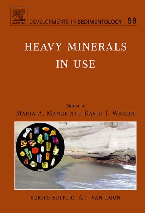
Редактор(ы):Mange M.A., Wright D.T.
Издание:Elsevier, 2007 г., 1328 стр.
Язык(и)Английский
Heavy minerals in use / Использование тяжелых минералов

Heavy mineral studies have been enriching earth sciences with informative data for well over a century. The methods employed are well-proven, and have stood the test of time, being both flexible and adaptable, with the potential for integration with applied geology and interdisciplinary research. The use of heavy minerals for constraining sediment provenance, source lithology and palaeotransport was recognised early on, while the range of heavy mineral applications increased progressively through the 20th century and up to the present day, in parallel with the growth of modern technology.

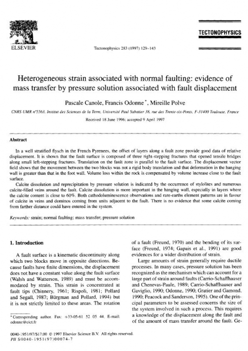
Выпуск 283
Автор(ы):Canole P., Odonne F., Polve M.
Издание:Journal Tectonophysics, 1997 г., 15 стр.
Язык(и)Английский
Heterogeneous strain associated with normal faulting evidence of mass transfer by pressure solution associated with fault displacement

In a well stratified flysch in the French Pyrenees, the offset of layers along a fault zone provide good data of relative displacement. It is shown that the fault surface is composed of three right-stepping fractures that opened tensile bridges along small left-stepping fractures. Translation on the fault zone is parallel to the fault surface. The displacement vector field shows that the movement between the two blocks was not a rigid body translation and that deformation in the hanging wall is greater than that in the foot wall. Volume loss within the rock is compensated by volume increase close to the fault surface.

Calcite dissolution and reprecipitation by pressure solution is indicated by the occurrence of stylolites and numerous calcite-filled veins around the fault. Calcite dissolution is more important in the hanging wall, especially in layers where the calcite content is close to 60%. Both cathodoluminescence observations and rare-earths element patterns are in favour of calcite in veins and dominos coming from units adjacent to the fault. There is no evidence that some calcite coming from farther distance could have entered in the system.

Автор(ы):Jowitt S.M., Mudd G.M., Weng Z.
Издание:Economic geology, 2013 г., 9 стр.
Язык(и)Английский
Hidden mineral deposit in Cu-dominated porphyry-skarn systems: how resourse reporting can occlude important mineralization types within mining camps / Скрытые залежи полезных ископаемых в порфирово-скарновых системах с преобладанием меди

A single mining camp or ore deposit can contain multiple mineral deposit types but may have mineral reserves or resources classified by what a mining or mineral exploration company considers to be the dominant mineralization type in the area. In this paper, we summarize recent work on the challenges of reporting mineral deposits by geologic processes rather than by grades, tonnages, and mineral processing approaches. For example, the Ertsberg-Grasberg district of Indonesia contains several large skarn Cu-Au-Ag deposits, with the discovery outcrop as well as early production entirely in skarn.

Редактор(ы):Stiller H.
Издание:Springer-Verlag Berlin Heidelberg GmbH, 1989 г., 252 стр., ISBN: 3-05-500493-0
Язык(и)Английский
High pressure investigations in geosciences / Исследования высокого давления в науках о земле

G. A . EFIMOVA, I . V . ZHUKOV, V . A . KALININ : Spectral approach to determination of longitudinal elastic wave attenuation in rocks at pressures up to 1.5 GPa

T . S. LEBEDEV, V. A . KORCHIN: A method of programmed modelling of thermobaric conditions of the lithosphere for studying mineral matter physical properties 

I . 0 . BAYTJK, V . A. KALININ : Effective elastic moduli of isotropic rocks at high pressure

T. S . LEBEDEV, G. Y. NOVIK, V. A. KORCHIN, M. G. SILBERSHMIT, T. K . ZAVORIKINA: Structural transformations of rocks and their effect on changes in elastic properties under different thermobaric conditions

Muz. K H . BAKIEV, A. K H . IBRAGIMOV : Study of P-wave velocity and density of Uzbekistan rock samples under high quasi-hydrostatic pressure up to 1.6 GPa 

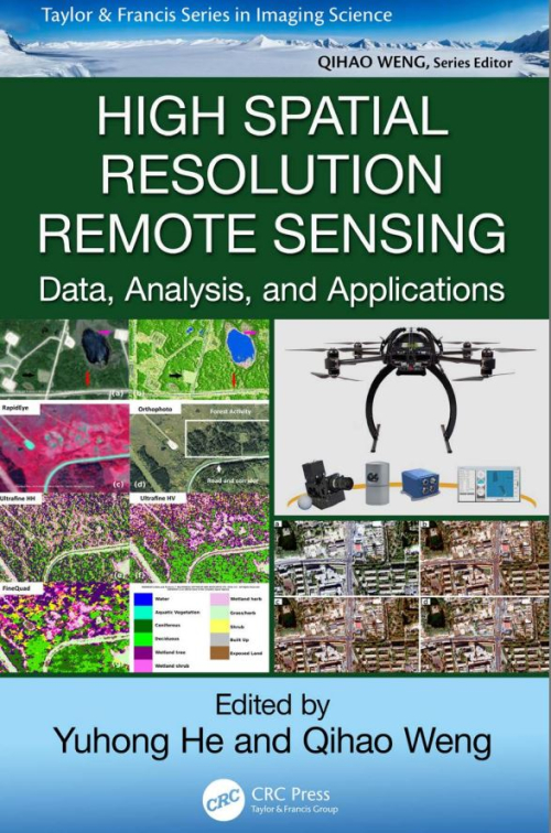
Редактор(ы):He Y., Weng Q.
Издание:CRC Press, 2018 г., 406 стр., ISBN: 978-1-4987-6768-2
Язык(и)Английский
High spatial resolution remote sensing. Data, analysis, and applications / Дистанционное зондирование с высоким пространственным разрешением.  Данные, анализ и приложения

High spatial resolution data provide a novel data source for addressing environmental questions with an unprecedented level of detail. These remote sensing data are a result of significant advances in image acquisition platforms and sensors, including satellite, manned aircraft, and unmanned aerial vehicle (UAV) platforms. Furthermore, the recent development of commercially operated satellite platforms with high spatial resolution sensors allows for the collection of a large amount of images at regular time intervals, with relatively large footprints (i.e., image swathes).

Автор(ы):Boldyreva E., Dera P.
Издание:Springer, 2009 г., 591 стр., ISBN: 978-90-481-9260-1
Язык(и)Английский
High-pressure crystallography. From fundamental phenomena to technological applications / Кристаллография высоких давлений. От фундаментальных явлений к технологическим приложениям

This volume is a collection of lectures presented during the 2009 International School on High-pressure Crystallography, which took place at the Ettore Majorana Center for Scientific Culture, between June 4 and 14, 2009, in the very picturesque Sicilian town of Erice. The 2009 school was the 41st course of the “International School of Crystallography” organized at the Majorana Center and was directed by Elena Boldyreva (Novosibirsk University) and Przemyslaw Dera (University of Chicago). Unmatched support and excellent on-site organization was provided by the expert team consisting of Prof. Paola Spadon (Uniersity of Padova), Prof. Lodovico Riva di San Severino (University of Bologna), Elena Papinutto and Prof. John Irvin (University of California, San Franciso), aided by great team of young local organizers (“orange scarfs”). <...>

Автор(ы):Grauch V.J.S.
Издание:USGS, 2002 г., 14 стр.
Язык(и)Английский
High-resolution aeromagnetic survey to image shallow faults, Dixie Valley geothermal field, Nevada / Аэромагнитная съемка с высоким разрешением для получения изображений неглубоких разломов, Геотермальное месторождение Дикси-Вэлли, Невада

Understanding the relations between faults and the flow of thermal fluids is key to successful exploration for new geothermal resources in Dixie Valley and other Basin and Range geothermal systems. Mapping fault patterns within these basins and recognizing their connections at depth are key to improving this understanding. However, most of the faults are shallowly buried, making them difficult to locate and map. Moreover, drill holes and seismic profiles cannot give a comprehensive view of fault attitudes and patterns because the information they provide is only for limited areas.

Редактор(ы):Bruhn D., Burlin L.
Издание:The Geological Society of London, 2005 г., 475 стр., ISBN: 1-86239-178-5
Язык(и)Английский
High-strain zones: Structure and physical properties / Зоны повышенной деформации: структура и физические свойства

Most of the deformation on Earth is concentrated in relatively narrow high-strain zones (e.g. plate boundaries). The purpose of this volume was to address different aspects dealing with high-strain zones, from the map scale to the processes active in high-strain zones to the physical properties of highly strained rocks. Several of the contributions were originally presented in a special session entitled 'High-Strain Zones' at the EGSAGU-EUG meeting 2003 in Nice, France, which inspired the compilation of this book. <...>

901.63