Добрый день, Коллеги. Важное сообщение, просьба принять участие. Музей Ферсмана ищет помощь для реставрационных работ в помещении. Подробности по ссылке
MORRIS, A. & TARLING, D. H. Palaeomagnetism and tectonics of the Mediterranean region: an introduction
Western Mediterranean
KIRKER, A. & MCCLELLAND, E. Application of net tectonic rotations and inclination analysis to a high-resolution palaeomagnetic study in the Betic Cordillera
VILLALAfN, J. J., OSETE, M. L., VEGAS, R., GARCfA-DUEI~AS, V. & HELLER, F. The Neogene remagnetization in the western Betics: a brief comment on the reliability of palaeomagnetic directions
FEINBERG, H., SADDIQI, O. & MICHARD, A. New constraints on the bending of the Gibraltar Arc from palaeomagnetism of the Ronda peridotites (Betic Cordilleras, Spain)
Der achte internationale Geologen-Kongress (Paris 1900) hat die Herausgabe eines Werkes beschlossen, dessen Hauptwert in der Wiederverf.f-fentlichung der Originale der fossilen Arten liegen soll- unter besonderer Berücksichtigung zunächst der alteren Formen u. derjenigen, deren Auffindung in der Litteratur mit Schwierigkeiten verknüpft ist. - Eine aus Vertretern der verschiedenen Lander zusammengesetzte Com-mission wurde mit der Aufgabe betraut, das Programm des Werkes zu entwerfen. Danach soll jede Art auf einem besonderen Blatt erscheinen und zwar:
1. Mit Wiedergabe ded ursprünglichen Original-Abbildung;
2. Mit ded Photographie ded Originals selbst;
3. Mit ded Wiederver.-iffentli-chung der vollständigen Diagnose und
Le dernier Congrès Géolo-gique International (Paris 1900) a adopté en principe la fondation d'une publication pa- : léontologique dont le but est de reediter les types des espèces fossiles, en s’attachant de pré-férence aux formes anciennes et à celles dont la recherche biblio-graphique est difficile. - Une Commission internationale a été chargéed’élaborerle programme de cette publication. Il a été décidé que chaque espèce serait publiée sur flehe afin de per-mettre Tadoption de différents modes de classement. <...>
The present work was carried out in partial fulfillment of the requirements for the degree of Doctor ol Philosophy at the University of Cincinnati. The author Blends his sincere thanks to the members of the Departments of Biological Sciences and Geology at the University fur generously giving of their time and knowledge during the preparation of the manuscript. Especial thanks is extended to Dr. К. Е. Caster, under whose direction the manuscript was prepared. I le was a source ol help and en-tonragement, and his invaluable library made many rare «inks readily available to me. 1 am indebted to Dr. Norman П. Newell for reviewing the manuscript and offering many helpful suggestions. To my "wife continuing thanks for proofreading and typing the greater bulk of the manu-Mtipt.
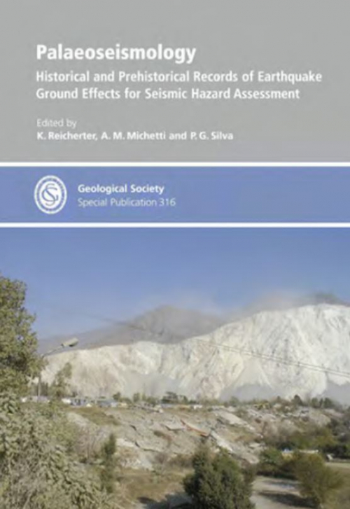
Earthquakes are one of the greatest natural hazards humans face. During the twentieth century alone, over two million people died during strong ground shaking, attendant fires, tsunamis and landslides. Most recently, in May 2008, about 80 000 people died in an earthquake in Sichuan Province in China and, earlier, on 26 December 2004, more than 200 000 people lost their lives to the tsunami resulting from the great earthquake off the west coast of Sumatra in Indonesia. In December 2003, the ancient city of Bam in Iran was destroyed by an earthquake, with the loss of over 30 000 lives. The worst disaster in modern times occurred in China in July 1976, when an entire city was destroyed and over 240 000 people killed in less than six minutes. Earlier, in 1556, an earthquake in north-central China killed an estimated 800 000 people, one of the worst natural disasters in recorded history. <...>
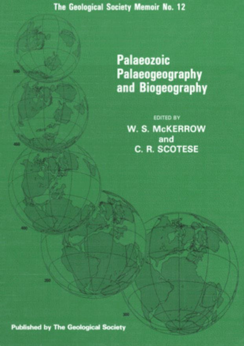
SCOrESE, C. R. & McKERROW, W. S. Revised World Maps and Introduction, Palaeomagnetism and Palaeoclimates
TORSVIK, T. H., SMETHURST, M. A., BRIDEN, J. C. & STURT, B. A. A review of palaeomagnetic data from Europe and their palaeogeographical implications, BACHTADSE, V. & BRIDEN, J. C. Palaeomagnetic constraints on the position of Gondwana during Ordovician to Devonian times, KErn, D. V. & VAN DER VOO, R. Palaeozoic palaeogeography from palaeomagnetism of the Atlanticbordering continents, WiTzrm, B. J. Palaeoclimatic constraints for Palaeozoic palaeolatitudes of Laurentia and Euramerica, SCOTESE, C. R. & BARREI'F, S. F. Gondwana's movement over the South Pole during the Palaeozoic: evidence from lithological indicators of climate, VAN HOUTEN, F. B. & Hou, HONG-FEI. Stratigraphic and palaeogeographic distribution of Palaeozoic oolitic ironstones, Early Palaeozoic Biogeography COCKS, L. R. M. & FORTEY, R. A. Biogeography of Ordovician and Silurian faunas, BERGSTROM, S. M. Relations between conodont provincialism and the changing palaeogeography during the Early Palaeozoic, FINNEY, S. C. & CHEN, Xo. The relationship of Ordovician graptolite provincialism to palaeogeography, BERRY, W. B. N. & WILDE, P. Graptolite biogeography: implications for palaeogeography and palaeoceanography, RICKARDS, R. B., RIGBY, S. & HARRIS, J. H. Graptoloid biogeography: recent progress, future hopes,
CRICK, R. E. Cambrian-Devonian biogeography of nautiloid cephalopods,
BURRETT, C., LONG, J. & STAIT, B. Early-Middle Palaeozoic biogeography of Asian terranes derived from Gondwana, LiAo, WEI-HUA. The biogeographic affinities of East Asian corals, SHEEHAN, P. M. & COOROUGH, P. J. Brachiopod zoogeography across the Ordovician-Silurian extinction event, Silurian-Devonian Biogeography
Zehn Jahre nach der drillen wird hier die vierte undvom Autor hcr gcschen - lctztc Aunagc des I'al;;ontologü;chen Wörtcrbuchs vorgelegt. Der Text ist üocr Jahre gründlich revidiert worden, die Abbildungen tcils verocsscrt, teils dureh neue ersetzt, ihre Gesamtzahl von 112 auf 128 vcrmehrt, Was zehn Jahre heute in der wissenschaftl ichen Literatur ocdeuten, mag man daraus ersehen, daß fast keine Seite des Textes ul!\'eranden geblicocn ist und d~s ,
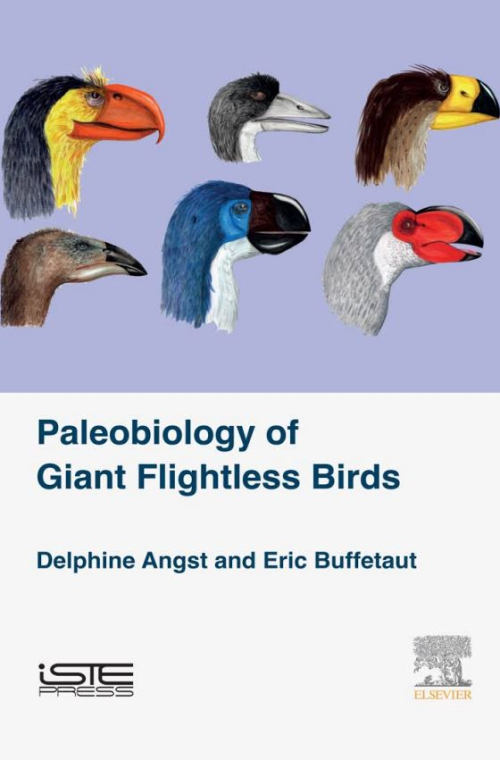
Our knowledge of bird evolution was incomplete for a long time, especially regarding the Mesozoic, because of a relative lack of fossils for significant periods of this group’s history. Things have considerably improved over the last twenty years, in particular following the discovery of numerous Cretaceous birds, especially in China, but also in other regions of the world (South America, Europe, etc.). Contrary to what is sometimes claimed, bird fossils are not really rare and are even particularly abundant at localities with exceptional preservation (Lagerstätten), like, for example, the Lower Cretaceous lacustrine deposits in North-East China, or the Eocene Messel Pit, in Germany. <...>
Humans are by nature curious, and we are all interested in the Earth on which we live and how various aspects have changed through geologic time. We speculate about what the Earth looked like when there were no trees, when there were no fl owering plants, and when the continental land masses were in different positions than they are today.