Добрый день, Коллеги. Важное сообщение, просьба принять участие. Музей Ферсмана ищет помощь для реставрационных работ в помещении. Подробности по ссылке
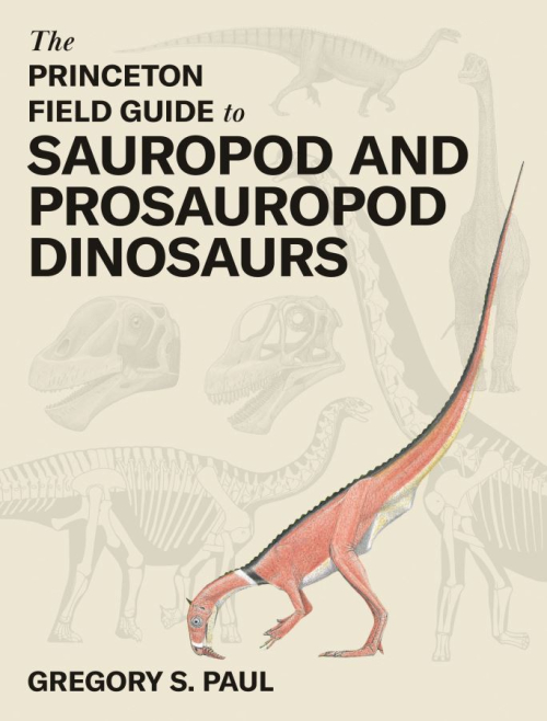
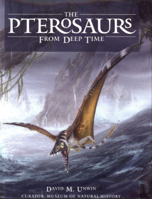
If I were, at about age twenty as a budding paleozoologist and paleoartist, handed a copy of this book by a mysterious time traveler, I would have been shocked as well as delighted. The pages would have revealed a world of new sauropod and related dinosaurs and ideas that I barely had a hint of or had no idea existed at all. My head would have spun at the revelation of the neck spines of Amargasaurus and of sauropods so colossal that they not only gave the giant baleen whales a run for their money in terms of sheer bulk but could feed over six stories high in tree crowns—and took only a few decades to get to those sizes!
Since the first edition of the "Principles of Economic Geology" appeared in 1918, great progress has been made in the subject. In the preparation of this, the second edition, it was desired to bring the general treatment and the descriptions of mining districts up to date and at the same time not to increase greatly the size of the book. To do this the descriptions have been cut down where possible and the number of maps and other illustrations has been increased considerably. It is believed that this is desirable because most geologists find maps and sections easier to read and often more illuminating than long descriptions. The number of footnote references has been greatly increased.
The text has been completely reset and rewritten. A few illustrations appearing in the first edition have been retained, but nearly all those appearing in the second edition are new. The number of illustrations is increased from 210 to 329.
The Productora prospect is situated 15 km SSW of the town of Vallenar in the Third Region, north-central Chile. It lies within the "Chilean Iron Belt" close to the north-trending Atacama Fault system. The belt contains a variety of Fe oxide ±Cu ±Au-bearing deposits including Candelaria (366 million tonnes averaging 1.08 % Cu, 0.26 g/t Au) which is situated in the Punta del Cobre region approximately 150 km north of Productora. The age, structural setting, alteration assemblages and styles of mineralisation in the Productora area resemble those present at Candelaria, but Productora differs in its spatial association with intrusive rocks and its lack of skarn assemblages.
The 41 contributors to this monograph are members of the Precambrian Paleobiology Research Group (PPRG), a multidisciplinary, international consortium of physical and biological scientists actively investigating the Precambrian history of the earth, and of life. Initially organized more than a decade ago, the PPRG includes geologists and biologists of diversebackgrounds and expertise: sedimentologists, petrologists, geochemists, and atmospheric scientists, microbiologists, phycologists, molecular phylogenists, and paleontologists. In 1979—80—supported by NASA and by funds provided by the National Science Board's 1977 Alan T. Waterman Award to J. W. Schopf—the group worked together at UCLA for 14 months on problems centered on the paleobiology of the Archean, the earlier half of Precambrian time encompassing the initial 40% of the history of the planet (viz., extending from 4500 to 2500 Ma ago).
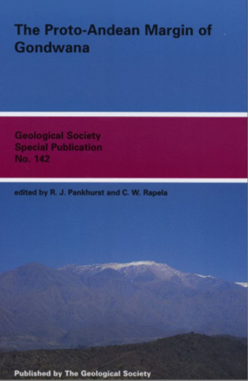
PANKHURST, R. J. & RAPELA, C. W. The proto-Andean margin of Gondwana: an introduction ASTINI, R. A. Stratigraphical evidence supporting the rifting, drifting and collision of the Laurentian Precordillera terrane of western Argentina KELLER, M., BUGGISCH, W. & LEHNERT, O. The stratigraphical record of the Argentine Precordillera and its plate-tectonic background BENEDETTO, J. L. Early Palaeozoic brachiopods and associated shelly faunas from western Gondwana: their bearing on the geodynamic history of the pre-Andean margin DICKERSON, P. W. & KELLER, M. The Argentine Precordillera: its odyssey from the Laurentian Ouachita margin towards the Sierras Pampeanas of Gondwana
The dragon blinked in the fierce light of the sun as it emerged from the clouds and banked hard, its tremendous wings arching under the load. Reflected in a massive dark eye, the world below slowly tilted into view. Vast herds of dinosaurs were strung out across a dusty yellow-orange plain, occasionally gathered in knots where they had stopped to feed on patches of stunted vegetation. Then came marshes and— the dragon focused— a long, still, clear-blue lake.
Political geology was created to bring together geology and politics in new ways. It developed largely within a mgeographers and was, in part, inspired by discussions surrounding the Anthropocene. But political geology also resonated with conversations across the humanities with shared interests in the social life of geology and the geology of social life. Political geology attempted to extend those interests by foregrounding the geos in the geopolitical at the very moment when many contemporary geopolitical analyses had forgotten that the geos of politics was actual material: grounded geological processes.
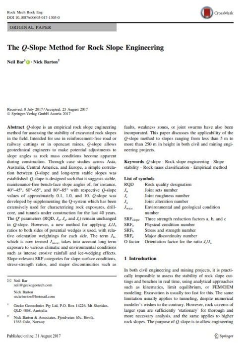
Q-slope is an empirical rock slope engineering method for assessing the stability of excavated rock slopesin the field. Intended for use in reinforcement-free road or railway cuttings or in opencast mines, Q-slope allows geotechnical engineers to make potential adjustments to slope angles as rock mass conditions become apparent during construction. Through case studies across Asia, Australia, Central America, and Europe, a simple correlation between Q-slope and long-term stable slopes was established. Q-slope is designed such that it suggests stable, maintenance-free bench-face slope angles of, for instance,
The quaternary of the United States THE QUATERNARY PERIOD of geologic time encompasses the last ice age proper (Pleistocene Epoch) and subsequent time (Holocene or Recent Epoch). The Quaternary is unique among the geologic periods for the relative perfection of its stratigraphic record—and thus for the unmatched opportunity it affords to decipher historical details with an accuracy impossible for earlier periods. The framework of the continents even in early-Quaternary time resembled that of the present so closely that major relations of land and sea and their effects on the general circulation of the atmosphere were probably very like those of the present, except perhaps when world-wide lowering of sea level exposed continental shelves or created significant land bridges between continents and arctic islands. Reconstructions of past conditions therefore may be controlled by a geographic framework relatively easy to visualize. <...>
Not long ago Business Week, in a feature story entitled “Now the Squeeze on Metals,” warned ominously: America's industrial might—already threatened by the deepening energy mess—is in for another resource crunch. . . . All signs point to longer-range problems in U.S. mineral supply that will not be solved by cyclic swings in the economy. If not solved, those problems could make U.S. business less competitive, lower America’s standard of living, and endanger the national security.