Добрый день, Коллеги. Важное сообщение, просьба принять участие. Музей Ферсмана ищет помощь для реставрационных работ в помещении. Подробности по ссылке
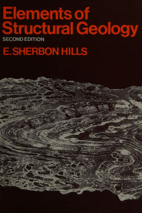
The special province of structural geology among the branches of geological science lies in the recognition, representation, and genetic interpretation of rock-structures. Without for the moment defining precisely what is meant by rock-structures, let us consider any geological cross-section showing beds in various attitudes — flat-lying or inclined, folded or faulted — perhaps in places intruded by igneous rocks or covered with lava-flows, and again in places metamorphosed. Such a section shows the shape and attitude of the various rock-units present, and is said to represent the geological structure of that part of the earth, in the plane of the section.
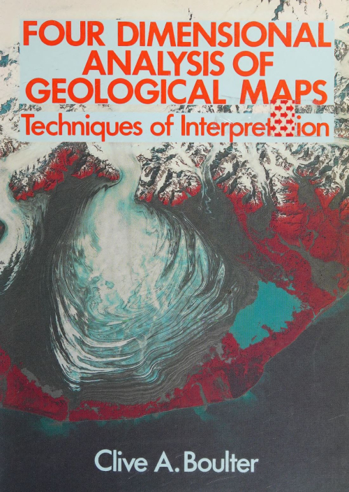
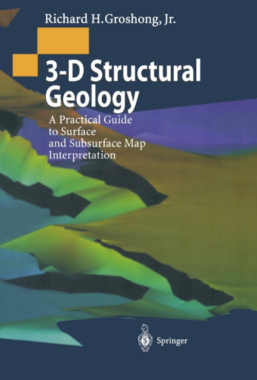
By the end of this book students should be well grounded in the basic techniques of geological map analysis. This is primarily an exercise in 3-D geometry coupled with a need to appreciate the time element which is central to the study of geology. Geology is emphatically four-dimensional! The level of the text is introductory, targeted at first-year university students, though it may be of use to those in the last year or so of secondary education and should be a useful reference work throughout an undergraduate course.
In the Preface to the first edition of this book, published in 1983, I explained my reasons for writing the book as follows.
There are already a number of excellent books covering the various aspects of Structural Geology. Among these are works by Hobbs, Means and Williams, Jaeger and Cook, Price, Ramsay, and Turner and Weiss, all of which I have used extensively in preparing this book and have listed therein as further reading. However, these textbooks are rather advanced for many students commencing the study of geology, and for many years I have been aware of the lack of a suitable elementary book which I could recommend to beginners. My purpose in writing this book, therefore, was to supplement existing textbooks by providing an introduction to the subject which will convey enough information over the whole field of structural geology to stimulate the reader’s interest and encourage further study of more advanced textbooks and scientific papers.’
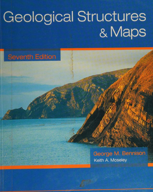
This new edition, the 7th, takes note of trends in syllabuses on geological structures and associated problem maps, particularly the move to take less account of the use of structure contours in understanding maps and solving structural problems. There are now two chapters on Map solution without structure contours, the first with simpler maps means that this topic has been introduced at an earlier stage in the book. The second introduces more difficult maps and there are, in these two chapters, three new additional maps. The use of structure contours is not diminished in this edition — the chapter explaining the construction of structure contours is retained with minor additions — as are the maps in the chapter on Economic problems which, reflecting the real world, rely heavily on structure contours for their solution. The other most obvious addition, is that of 16 photographs to illustrate geological features as they are introduced. There are a number of minor additions to the text. In respnse to many requests over the years, this edition now contains completed sections of every map (where a section was required) in addition to the two given in the 6th Edition. Solutions to the maps in Chapters 2 and 11 are also included in the appendix. I would like to express may thanks to my coauthor for his contribution, particularly his photographs, and to former colleagues for all their help in the past in providing the foundation on which this present edition is based. <...>
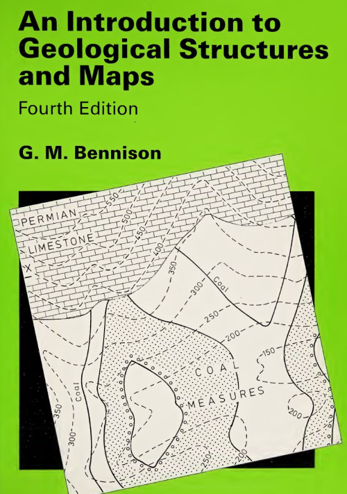
Changes in ideas on teaching geological map interpretation for first year degree course level, and for ‘A’ level syllabuses, indicated that some modifications might be made to the latter part of this book. Apart from minor amendments and the updating of terminology, three main changes have been made. First, the topic of isopachytes (see p. 30) is generally taught in degree courses but is not to my knowledge dealt with in any book on geological maps. Problems of overburden isopachytes are introduced first, being applied to Map 9 and a redrawn Map 10, while bed isopachytes are covered by two new maps, 18 and 19. Second, rather more emphasis is placed on subsurface problems. Third, in the last decade maps set by several ‘A’ level examining boards have been line drawings based on geological survey (BGS) maps. Their solution depends not on the construction of structure contours but on broad interpretation of outcrop patterns. Of course, all maps should be approached in this way, first deducing the general structures before drawing any constructional lines. Three maps, one new to this edition, are based on geological survey maps and additional exercises on survey maps are included. Where possible, terminology has been explained in the text, but if necessary, readers can consult a specialist dictionary, such as Monkhouse and Small, A Dictionary of the Natural Environment, (London, Edward Arnold, 1978), or Whitten and Brooks, A Dictionary of Geology, (Harmondsworth, Penguin, 1978).
My thanks are due to colleagues named above for their continuing interest and helpful suggestions, to Dr D.E. Roberts and especially to Dr R. Pickering, and to Mr Carl Burness for drafting my new and amended maps to such a high standard. <...>
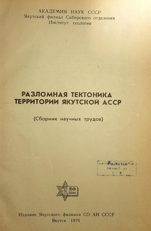
В сборнике произведена классификация разломов по геологической значимости, генезису, структурному положению и возрасту и дается их подробное описание. На востоке Сибирской платформы выделены прото-геосинклинальные и орогенные разломы фундамента и платформенные разломы чехла, которые по возрасту и структурному положению группируются в 12 систем. Отдельно рассмотрены краевые швы Сибирской платформы. В мезозоидах Верхояно-Чукотской области выделены геосинклинальные и орогенные разломы, которые группируются по кинематическим признакам в 9 систем. Рассматриваются вопросы локализации полезных ископаемых в зонах разломов.
Сборник будет интересен в первую очередь тектонистам, нефтяникам, металлогенистам, магматистам и геологам других специальностей.
Micromechanics of brittle faulting and cataclastic flow in Berea sandstone The role of intragranular fracturing on grain size reduction in feldspar during mylonitization Deformation mechanisms and inverted thermal profile in the North Almora Thrust mylonite zone, Kumaon Lesser Himalaya, India Crustal-scale strain partitioning: footwall deformation below the Alpine Oligo-Miocene detachment of Corsica Structural and metamorphic evidence of local extension along the Vivero fault coeval with bulk crustal shortening in the Variscan chain (NW Spain)
Many important decisions, ranging from locating an oil prospect or a land-fill site to determining the location and size of an earthquake-producing fault, are based on geological maps. Because a map-scale structure is never completely sampled in three dimensions, geological maps and the cross sections derived from maps are always interpretations. The interpretation may be complicated by direct structural observations, like bedding attitudes, that are misleading because they represent a local structure, not the map-scale structure.
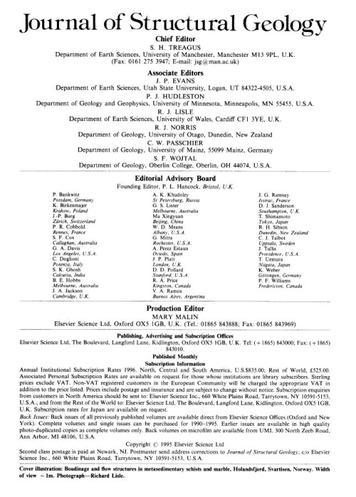
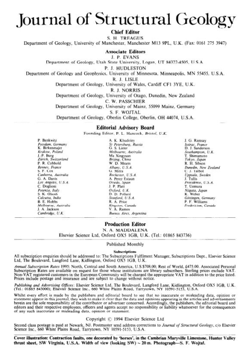
Editorial: Manuscripts and illustrations on disk Northwest-verging folds and the northwestward movement of the Caledonian Jotun Nappe, Norway The Monashee decollement at Cariboo Alp, southern flank of the Monashee complex, southern British Columbia, Canada Kinematics and a balanced and restored cross-section across the toe of the eastern Nankai accretionary prism Neogene ongoing tectonics in the Southern Ecuadorian Andes: analysis of the evolution of the stress field The case for simultaneous deformation, metamorphism and plutonism: an example from Proterozoic rocks in central Arizona Structural controls on syntectonic metasomatic tremolite and tremolite-plagioclase pods in the Molanite Valley, Mt. Isa, Australia The role of microcracking in shear-fracture propagation in granite
The study of seismic wave propagation, especially of the P (longitudinal) waves, has enabled us to distinguish two components in the shallower part of the earth:
- The crust (thickness varying from 10 to 70 km, average 30 Ian);
- The underlying mantle, separated from the crust by a surface of discontinuity at which the seismic-wave velocities change suddenly (the Mohorovicic discontinuity, generally shortened to Moho).