Добрый день, Коллеги. Важное сообщение, просьба принять участие. Музей Ферсмана ищет помощь для реставрационных работ в помещении. Подробности по ссылке
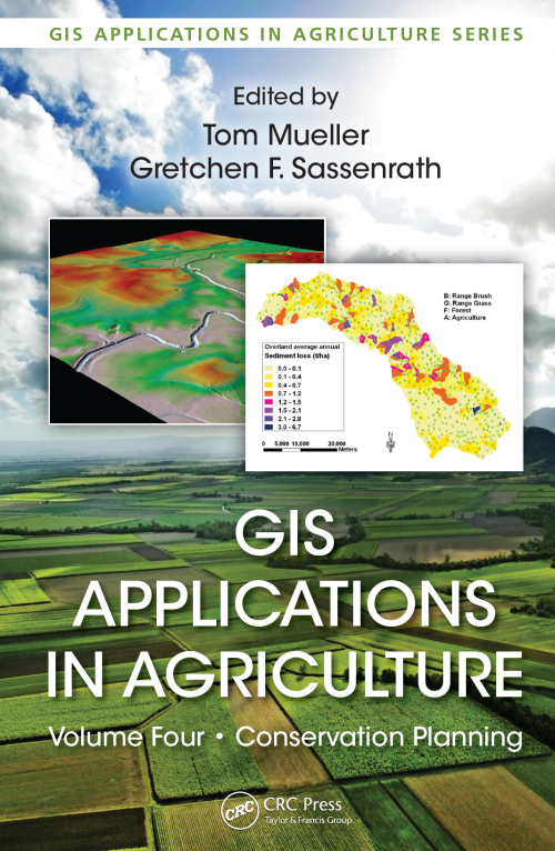
GIS Applications in Agriculture, Volume Four: Conservation Planning, edited by Tom Mueller and Gretchen F. Sassenrath, is the fourth volume in the book series GIS Applications in Agriculture, which is designed to enhance the application and use of geographic information systems (GISs) in agriculture by providing detailed GIS applications that are useful to scientists, educators, students, consultants, and farmers. The first volume, GIS Applications in Agriculture, edited by Francis J. Pierce and David Clay, was published by CRC Press in 2007. The second volume, GIS Applications in Agriculture: Nutrient Management for Improved Energy Efficiency, edited by David Clay and John Shanahan, and the third volume, GIS Applications in Agriculture: Invasive Species, edited by Sharon Clay, were published by CRC Press in 2011. While the newest book in this series, the idea of a book on conservation planning using GIS was identified in 2007 when the book series began. Intuitively, conservation planning through GIS applications should appeal to all conservationists who clearly understand that a key to achieving soil and water conservation is rooted in an understanding of the spatial and temporal variation in both soil and water resources and natural and human-induced forces that affect the quality and quantity of those resources. <...>
Various branches of physics and earth sciences have been studied from the point of view of mathematical morphology and its applications, but for the first time a whole book is devoted to a morphological approach to structural geology. In this sense, it fits in with a long tradition since the two founders of mathematical morphology were both mining engineers.
Gale is pleased to present the third edition of Geo-Data: The World Geographical Encyclopedia. This is the first new edition of Geo-Data since 1989, and it represents a complete revision and updating of that work. The purpose of the book remains unchanged: to provide the reader with the most detailed and comprehensive descriptions available for the physical geography of countries. Geo-Data’s focus and design is unique.
Учебное пособие «Геофизические исследования и работы в скважинах (краткий курс лекций)» предназначено для иностранных студентов геологического факультета Саратовского государственного университета имени Н.Г. Чернышевского, обучающихся по направлению подготовки 21.03.01 «Нефтегазовое дело», профиль подготовки «Геолого-геофизический сервис нефтегазовых скважин».
If we move away from the traditional paper map and the explanation or journal that usually accompanies it, we have to consider a new type of digital information, characterized by its large volume (for instance, the amount of images recorded per day by a satellite is in the terabyte range) and its intrinsic complex structure. In addition, geographic information differs in nature according to the type of application and the way it was obtained. Basically, it may be derived <...>
В настоящей работе дано краткое описание современных методов промыслово-геофизических исследований раз-резов нефтяных и газовых скважин. Подробно рассмотрены вопросы качественной, полуколичественной и количественной интерпретации получаемых результатов для определения коллекторских свойств нефтегазоносных пластов и оценки их продуктивности. Справочник представляет интерес для широкого круга инженерно-технических работников, занимающихся поисками, разведкой и разработкой место рождений нефти и газа, а также для студентов и преподавателей геологоразведочных вузов и факультетов.
Последние десятилетия ознаменованы большой активностью применения карт в исторических исследованиях. Это связано с развитием и применением геоинформационных систем (ГИС), воплотивших принципиально новый подход в работе с пространственными данными. Первые ГИС были разработаны в 1960-е годы для решения весьма ограниченного круга задач, а именно, для управления природными ресурсами канадского правительства. Со временем диапазон применения ГИС-технологий существенно расширился, а размещение в сети интернет стало обычным явлением. <...>
The 1 : 5 000 000 International Geological Map of Europe and Adjacent Areas (IGME 5000) is a truly multidisciplinary project. It crosses three domains: geology, Information Technology and cartography. Within geology it embraces many sub-disciplines: stratigraphy, petrography, European regional and historical geology and marine geology.
The study of geological characteristics of low-sulfidation epithermal deposits (LSED) elsewhere and in the Deseado Massif, and Fry analysis (point pattern analysis) of spatial distributions of LSED in the study area were carried out to determine geological controls on LSED that could be used as spatial evidences for predictive mapping of LSED potential on regional and district scales.
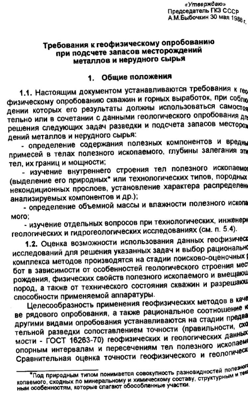
1.1 Настоящим документом устанавливаются требования к геофизическому опробованию скавжин и горных выработок, при соблюдении которых его результаты должны использоваться самостоятельно или в сочетании с данными геологического опробования для решения следующих задач разведки и подсчета запасов месторождений металлов и нерудного сырья: