Добрый день, Коллеги. Важное сообщение, просьба принять участие. Музей Ферсмана ищет помощь для реставрационных работ в помещении. Подробности по ссылке

Поиск по книгам
Издание:United States Government Printing Office, Washington, 1989 г., 197 стр.
Язык(и)Русский
Geology of the Arabian peninsula. Shield area of western Saudi Arabia / Геология Аравийского полуострова. Щит западной части Саудовской Аравии

This volume, "The Geology of the Arab ian Peninsula," is a logical consequence of the geographic and geologic mapping project of the Arab ian Peninsula, a cooperative venture between the Kingdom of Saudi Arabia and the Government of the United States. The Arabian-American Oil Co. and the U.S. Geological Survey did the fieldwork within the Kingdom of Saudi Arabia, and, with the approval of the governments of neighboring countries, a number of other oil companies contributed additional mapping to complete the coverage of the whole of the Arabian Peninsula. So far as we are aware, this is a unique experiment in geological cooperation among several governments, petroleum companies, and individuals. <...>

Автор(ы):Dow R.J., Hitzman M.W.
Издание:PGS Publishing, Linden Park, 2002 г., 9 стр.
Язык(и)Английский
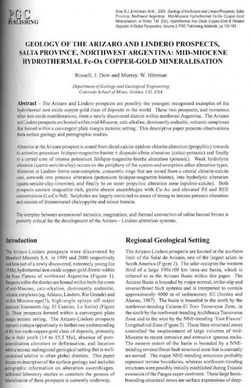
Geology of the Arizaro and Lindero Prospects, Salta Province, Northwest Argentina: Mid-Miocene Hydrothermal Fe-Ox Copper-Gold Mineralisation

The Arizaro and Lindero prospects are possibly the youngest recognised examples of the hydrothermal iron oxide-copper-gold class of deposits in the world. These two prospects, and numerous other iron-oxide manifestations, form a newly discovered district within northwest Argentina. The Arizaro and Lindero prospects are hosted within mid-Miocene, calc-alkaline, dominantly andesitic, volcanic complexes that formed within a convergent plate margin tectonic setting. This descriptive paper presents observations from surface geology and petrographic studies.

Автор(ы):Ellis M.W., Gordon M., Tracey J.I.
Издание:United States Government Printing Office, Washington, 1958 г., 285 стр.
Язык(и)Английский
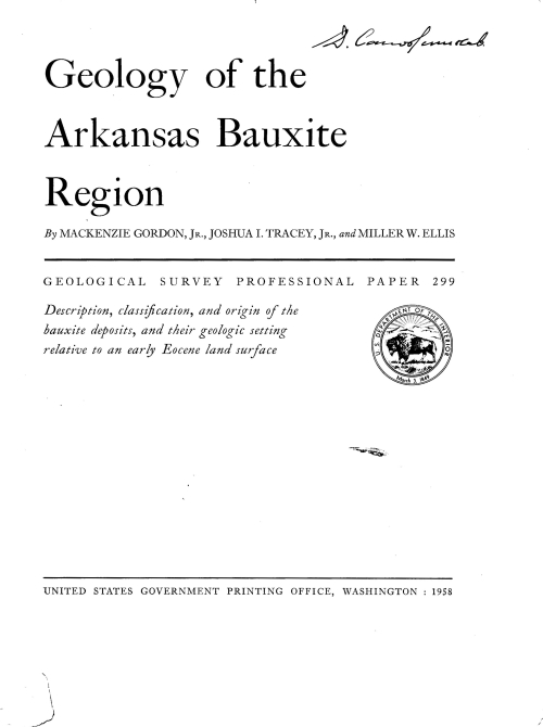
Geology of the Arkansas bauxite region / Геология Арканзасского бокситоносного региона

The Arkansas bauxite region lies near the center of the State in Pulaski and Saline Counties. It is irregular in outline, covering about 275 square miles and is elongate in a northeasterly direction. Bauxite deposits in the region can be grouped into two principal districts, one in Pulaski County about 5 miles south of Little Rock, and the other, more important commercially, about 25 miles southwest in Saline County.

Издание:PGS Publishing, Linden Park, 2005 г., 15 стр.
Язык(и)Английский
Geology of the Bingham Mining District, Salt Lake County, Utah

The Bingham deposit is centred on a small 40 Ma stock of older, generally equigranular, monzonite that is cut by quartz monzonite porphyry, latite, and quartz latite porphyry dykes. The surrounding country rocks are quartzite and minor but important limestone. A body of fractured rock formed over the top of the monzonite as it cooled leaving a weakly fractured core below a dome of strong fracturing. Early fluids entered this fractured mass at about the time of the intrusion of the first porphyry resulting in an undetermined amount of alteration and mineralisation. This fracturing is a major control on the location of the ore shell and the concentric zoning pattern of alteration and mineralisation. Five porphyry intrusives have been described and each is followed by a cycle of veining, alteration and mineralisation. The porphyries all trend north-easterly across the northern half of the deposit, forming the porphyry trend. At least three overlapping centres of fracturing, alteration and mineralisation seem to be present within the stock, one centred in the fracture dome and two or more in the porphyry trend.

Выпуск 103
Издание:Economic geology, 2008 г., 24 стр.
Язык(и)Английский
Geology of the cove mine, Lander County, Nevada, and a genetic model for the McCoy-Cove hydrothermal system / Геология шахты Коув, округ Ландер, штат Невада, и генетическая модель гидротермальной системы Маккой-Коув

The McCoy Au-Ag skarn and Cove Au-Ag deposits are located in the northern Fish Creek Mountains, Lander County, Nevada. Through the end of mining in 2001, large-scale open-pit and associated underground production at the two deposits yielded 3.3 million ounces (Moz) of Au and 108 Moz of Ag. Most production was from Cove, making it the fourth-largest Ag producer in the history of Nevada.

Cove is hosted by the middle to early Late Triassic Augusta Mountain Formation, which consists of limestone with lesser dolostone and clastic units. Ore also is present locally in Eocene porphyritic granodiorite dikes and sills. The deposit comprises two distinct ore types: a central core of polymetallic vein-type ore and an outer aureole of relatively Ag rich Carlin-style ore. Polymetallic veins consist of pyrite-sphalerite-galena–dominated Au- and Ag-bearing veins, veinlets, stockworks, crustifications, and disseminations in clastic and carbonate strata and locally in the intrusions. Carlin-style ore comprises disseminated Fe ± As sulfides with arsenian, argentiferous, and auriferous components ± native Au-electrum in silty to sandy carbonate strata. Polymetallic vein-type ore has Ag/Au ratios of >50/1, and Carlin-style ore has Ag/Au ratios that decrease from ~50/1 near the feeder faults to ~1/1 in one of the more distal ore zones. Both types of ore are associated with decarbona-tized, silicified, and illitized rocks. New structural and age data for fresh and altered intrusive rocks indicate that mineralization at Cove occurred during active extension and magmatism at ~39 Ma (40Ar-39Ar). Fluid inclusion and δD and δ18O data for polymetallic vein-type ore indicate that the mineralizing fluids had temperatures of 250° to 370°C and were magmatic in origin.

Автор(ы):Fiero B.
Издание:University of Nevada Press, 1986 г., 250 стр., ISBN: 0-87417-083-4
Язык(и)Английский
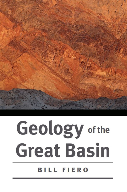
Geology of the Great Basin / Геология Большого Бассейна

The dry sand stretches away as far as I can see to the east and the west. The July sun burns a hole in the sky and sears the desert basin. Shimmering heat waves ripple the sand at the horizon and make the refl ections of the mountains fl icker upside down on the pseudoliquid surface. The sandy mud has shrunk and cracked since the last summer rain and has formed polygonal fractures in the barren brown surface. These are the only marks on the sand.

Издание:Кольский научный центр РАН, Апатиты, 1995 г., 143 стр., УДК: 55 (470.21)
Язык(и)Английский (перевод с русского)
Geology of the Kola peninsula (Baltic shild) / Геология Кольского полуострова (Балтийский щит)

This book presents a short description of major geological structures in the region and is based on current geological-geochemical and geophysical data and interpretations. New versions of the Geological Map of the Kola Peninsula and some of its structures are given.
The book was written for a wide audience of Russian and foreign geologists and can be used as a geological guide.

Автор(ы):Dhital M.R.
Издание:Springer, 2015 г., 498 стр., ISBN: 978-3-319-02495-0
Язык(и)Английский
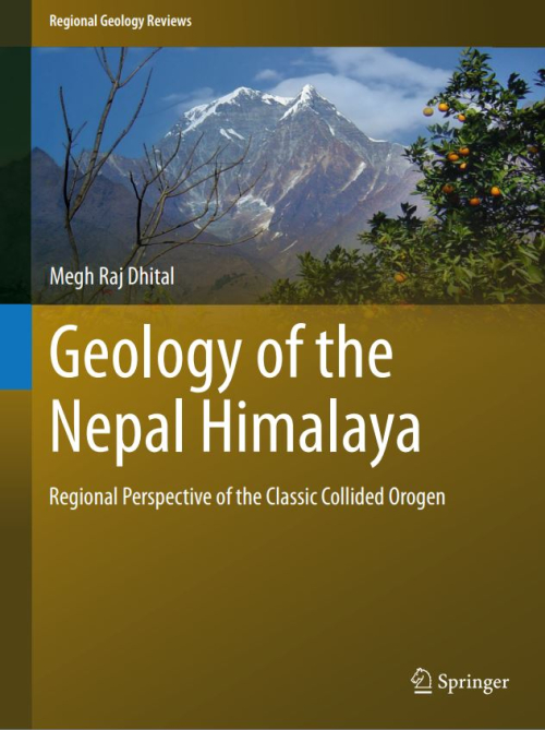
Geology of the Nepal Himalaya. Regional perspective of the classic collided orogen / Геология Непальских Гималлаев. Региональная перспектива классического коллизионного орогена

Perhaps no sector in the Himalaya is endowed with so exciting a geological setup as Nepal. Forming a bridge between the Western and Eastern Himalaya, Nepal occupies a pivotal and significant place in the geology of the Himalaya. Stretching from the low lying foothill in south to the highest peak of Sagarmatha (Mt. Everest) in the north and covering a vast time span from the Proterozoic to Holocene, the Nepal Himalaya preserves unique geological events. Varied kinds of igneous rocks, metamorphosed sequences and sedimentary rocks of disparate environments make a captivating geological mosaic.

Автор(ы):Reynolds L.J.
Издание:PGS Publishing, Linden Park, 2002 г., 12 стр.
Язык(и)Английский
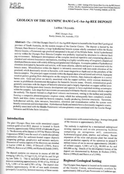
Geology of the Olympic Dam Cu-U-Au-Ag-REE deposit

The -1590 Ma Olympic Dam Cu-U-Au-Ag-REE deposit is located in the Stuart Shelf geological province of South Australia, on the eastern margin of the Gawler Craton. The deposit is hosted by the Olympic Dam Breccia Complex, a large hydrothermal breccia system wholly contained within the Roxby Downs Granite, a Proterozoic age granitoid inteipreted to be part of the Hiltaba Suite. Initial hydrothermal activity within the Olympic Dam Breccia Complex was probably localised by structures in a dextral fault jog environment. Subsequent development of the complex involved repetitive and overprinting physical, chemical and volcanic brecciation mechanisms, resulting in a highly variable array of irregularly shaped and distributed breccia zones with widely differing and gradational lithologies. A complex pattern of hydrothermal alteration dominated by hematite and sericite, with lesser chlorite, siderite and quartz is associated with the breccia zones. Mineralisation within the deposit is intimately associated with iron-oxide alteration of the granitoid, which dominantly occurs as hematite, with lesser magnetite at depth and on the periphery of the breccia complex. The principal copper minerals within the deposit show a broad lateral and vertical, hypogene zonation pattern grading from chalcopyrite on the margins to bornite, then chalcocite adjacent to a central barren core. Gold and silver are mainly associated with the copper sulfides, while uranium dominantly occurs in pitchblende disseminated throughout the hematitic breccia zones. Overall, mineralisation grade generally correlates with the degree of hematite alteration and is largely dependent on copper sulfide tenor. Minor brittle faulting post-dates breccia development and appears to have exploited existing anisotropies within the complex. Late-stage fault movements are associated with barite-fluorite vein arrays which overprint the orebody. The deposit formed in a high level volcanic environment, venting to the surface and possibly forming a composite phreatomagmatic eruption crater, which has subsequently been completely eroded. Mafic and felsic dykes intruded the breccia complex, locally producing diatreme structures. Tectonism, hydrothermal activity, dyke intrusion, brecciation, alteration and mineralisation within the system were broadly concurrent and interdependent. Hydrothermal fluids and metals have a dominantly magmatic source, probably associated with the Middle Proterozoic volcano-plutonic event correlated with the Gawler Range Volcanics and Hiltaba Suite intrusives.


Автор(ы):Searle M.
Издание:Springer, 2019 г., 486 стр., ISBN: 978-3-030-18452-0
Язык(и)Английский
Geology of the Oman mountains, Eastern Arabia / Геология Оманских гор, Восточная Аравия

Arabia is one of the most enigmatic and unknown continents on Earth. The vast Rub al-Khali desert, known as the Empty Quarter, occupying most of the landmass of Arabia was one of the last of the great continental extreme environments to be explored. Richard Burton, William Palgrave, Charles Doughty, Gertrude Bell and Freya Stark were a few of the redoubtable explorers who ventured into the vast desert wasteland of the Rub al-Khali, in what is now Saudi Arabia and the frankincense coast of Dhofar, Hadramaut and the Magreb (Yemen) in south Arabia. Although local bedouin certainly made long-distance camel treks across parts of Arabia, the first recorded north–south crossing of the Empty Quarter was achieved by Bertram Thomas in 1930–1931, described in his book ‘Arabia Felix’.

862.65