Добрый день, Коллеги. Важное сообщение, просьба принять участие. Музей Ферсмана ищет помощь для реставрационных работ в помещении. Подробности по ссылке
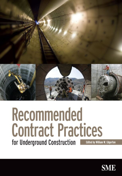
In the 1970s, members of the U.S. National Committee on Tunneling Technology (USNCTT) recognized a need to review and improve contracting practices for underground construction. The committee conducted an intensive study and several workshop reviews, ultimately publishing a set of recommended practices in 1974.
Mining reconciliation is the comparison of estimated tonnage, grade and metal with actual measurements. The aims are to measure the performance of the operation, support the calculation of the mineral asset, validate the Mineral Resource and Ore Reserve estimates, and provide key performance indicators for short and long-term control (Morley, 2003). Ongoing, regular and efficient reconciliation should also highlight improvement opportunities and allow for proactive short-term forecasting by providing reliable calibrations to critical estimates. The concept is that of “measure, control and improve”. <...>
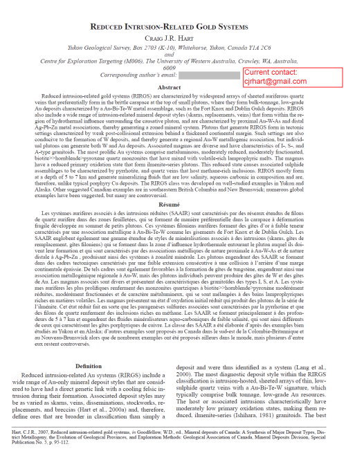
Reduced intrusion-related gold systems (RIRGS) are characterized by widespread arrays of sheeted auriferous quartz veins that preferentially form in the brittle carapace at the top of small plutons, where they form bulk-tonnage, low-grade Au deposits characterized by a Au-Bi-Te-W metal assemblage, such as the Fort Knox and Dublin Gulch deposits. RIRGS also include a wide range of intrusion-related mineral deposit styles (skarns, replacements, veins) that form within the region of hydrothermal infl uence surrounding the causative pluton, and are characterized by proximal Au-W-As and distal Ag-Pb-Zn metal associations, thereby generating a zoned mineral system.
The vast region of Siberia is expected to experience potentially rapid land-cover changes, which are among the earliest indicators of the Earth’s response to climate warming. Moreover, climate change affects both the boreal ecosystems and socioeconomic infrastructure.
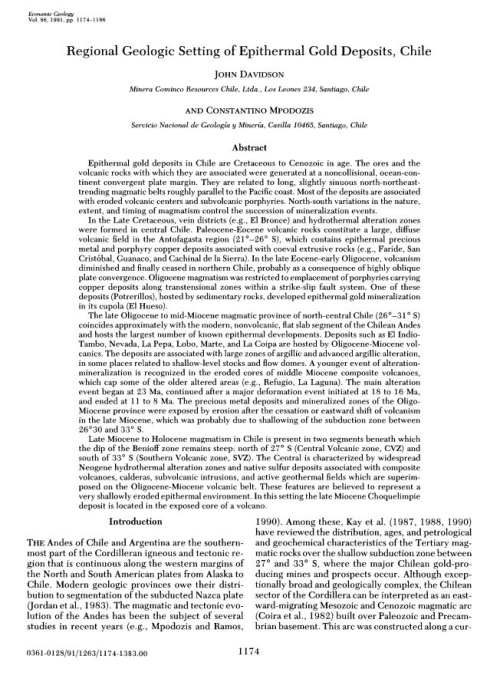
Epithermal gold deposits in Chile are Cretaceous to Cenozoic in age. The ores and the volcanic rocks with which they are associated were generated at a noncollisional, ocean-continent convergent plate margin. They are related to long, slightly sinuous north-northeasttrending magmatic belts roughly parallel to the Pacific coast. Most of the deposits are associated with eroded volcanic centers and subvolcanic porphyries. North-south variations in the nature, extent, and timing of magmatism control the succession of mineralization events. In the Late Cretaceous, vein districts (e.g., E1 Bronce) and hydrothermal alteration zones were formed in central Chile.
The most important question every geoscientist should continually ask is ‘why’? Why do I see what I see? Too often it is accepted, for example, that a sedimentary basin ‘is there’, and geoscientists continue to work on surfaces and units within its boundaries, without ever questioning ‘why do I have this hole in the ground’? Why is it here? What governed its geometry and stratigraphic architecture? What controlled the sediment entry points? What dictates the thermal structure? In resource evaluation and field development, the focus is commonly further narrowed, with management only requesting a map on a ‘Green Horizon’ picked on seismic data in a workstation environment covering only a small segment of the total basin area; insights from the broader regional and mega-regional geological understanding are lost. <...>
Both the petroleum industry and academia continue to undergo a transition whereby active knowledge transfer by experienced earth scientists represented by faculty teachers and researchers, Chief geoscientists, etc. is rapidly changing to passive knowledge (or data transfer) through a variety of electronic media and systems. Over the recent past, the broad experience base in both industry and academia has been phased out through retirement, redundancy and focus on specific research areas. In the case of industry, a new generation of younger specialists, sometimes called Nintendo geoscientists, are trained to solve specific practical problems based on highly focussed data acquisition and interpretation using work stations. In academia, an increasingly holistic focus on earth systems science is eroding the broader geological base that has hitherto underpinned scholarly research. <...>
Both the petroleum industry and academia continue to undergo a transition whereby active knowledge transfer by experienced earth scientists represented by faculty teachers and researchers, Chief geoscientists, etc. is rapidly changing to passive knowledge (or data transfer) through a variety of electronic media and systems. Over the recent past, the broad experience base in both industry and academia has been phased out through retirement, redundancy and focus on specific research areas. In the case of industry, a new generation of younger specialists, sometimes called Nintendo geoscientists, are trained to solve specific practical problems based on highly focussed data acquisition and interpretation using work stations. In academia, an increasingly holistic focus on earth systems science is eroding the broader geological base that has hitherto underpinned scholarly research <...>
Regional geology forms an essential bridge between local and continental/global geology. Its purpose should be to simplify local surface and subsurface data to a scale that aids prediction and further illuminates the broader brush generalisations implicit in continent-wide and global syntheses.