Добрый день, Коллеги. Важное сообщение, просьба принять участие. Музей Ферсмана ищет помощь для реставрационных работ в помещении. Подробности по ссылке
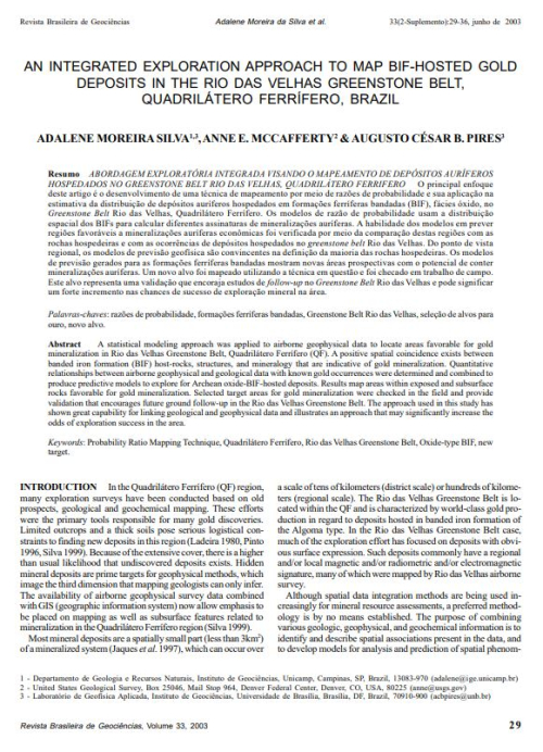
Комплексный геологоразведочный подход к составлению карты залежей золота в железистой формации в зеленокаменном поясе Рио-дас-Вельяс, Гвадрилатеро-Ферриферо, Бразилия
A statistical modeling approach was applied to airborne geophysical data to locate areas favorable for gold mineralization in Rio das Velhas Greenstone Belt, Quadrilátero Ferrífero (QF).
As a preliminary to the detailed reading of a geological map to determine the succession and structure, it is useful to look first at the broad topographical features, including valleys, ridges, and summits. The position of steeper and flatter slopes will be apparent from contours, when these are given, and geological boundaries and their relationship to the topography can be followed. This applies particularly to large-scale maps, for instance at 6 inches to a mile.* Straight runs of outcrop given by steeply dipping or vertical beds indicate the local direction of strike. Horizontal beds have boundaries which reflect the topographic contours.
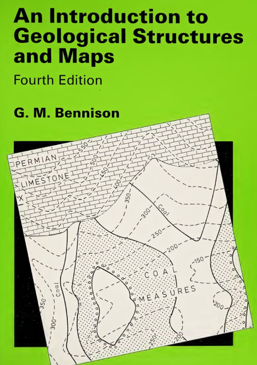
This new edition, the 7th, takes note of trends in syllabuses on geological structures and associated problem maps, particularly the move to take less account of the use of structure contours in understanding maps and solving structural problems. There are now two chapters on Map solution without structure contours, the first with simpler maps means that this topic has been introduced at an earlier stage in the book. The second introduces more difficult maps and there are, in these two chapters, three new additional maps. The use of structure contours is not diminished in this edition — the chapter explaining the construction of structure contours is retained with minor additions — as are the maps in the chapter on Economic problems which, reflecting the real world, rely heavily on structure contours for their solution. The other most obvious addition, is that of 16 photographs to illustrate geological features as they are introduced. There are a number of minor additions to the text. In respnse to many requests over the years, this edition now contains completed sections of every map (where a section was required) in addition to the two given in the 6th Edition. Solutions to the maps in Chapters 2 and 11 are also included in the appendix. I would like to express may thanks to my coauthor for his contribution, particularly his photographs, and to former colleagues for all their help in the past in providing the foundation on which this present edition is based. <...>
Changes in ideas on teaching geological map interpretation for first year degree course level, and for ‘A’ level syllabuses, indicated that some modifications might be made to the latter part of this book. Apart from minor amendments and the updating of terminology, three main changes have been made. First, the topic of isopachytes (see p. 30) is generally taught in degree courses but is not to my knowledge dealt with in any book on geological maps. Problems of overburden isopachytes are introduced first, being applied to Map 9 and a redrawn Map 10, while bed isopachytes are covered by two new maps, 18 and 19. Second, rather more emphasis is placed on subsurface problems. Third, in the last decade maps set by several ‘A’ level examining boards have been line drawings based on geological survey (BGS) maps. Their solution depends not on the construction of structure contours but on broad interpretation of outcrop patterns. Of course, all maps should be approached in this way, first deducing the general structures before drawing any constructional lines. Three maps, one new to this edition, are based on geological survey maps and additional exercises on survey maps are included. Where possible, terminology has been explained in the text, but if necessary, readers can consult a specialist dictionary, such as Monkhouse and Small, A Dictionary of the Natural Environment, (London, Edward Arnold, 1978), or Whitten and Brooks, A Dictionary of Geology, (Harmondsworth, Penguin, 1978).
My thanks are due to colleagues named above for their continuing interest and helpful suggestions, to Dr D.E. Roberts and especially to Dr R. Pickering, and to Mr Carl Burness for drafting my new and amended maps to such a high standard. <...>
Примеры и пояснения к комплектам карт геологического содержания подготовлены специалистами Картфабрики ВСЕГЕИ и содержат рекомендуемые типовые варианты оформления топографической основы, геологической нагрузки и объяснительной записки. Данные материалы несут оформительское предназначение (шрифтовое и интервальное) и не являются рекомендацией для авторского составления карт
Регламентирует составление и подготовку к изданию Государственной геологической карты Российской Федерации масштаба 1 : 200 000 (Госгеолкарты-200/2) – фундаментальной научной геологической информационной основы природопользования на территории Российской Федерации. Обязательно для всех организаций и предприятий, осуществляющих составление и подготовку к изданию листов Государственной геологической карты Российской Федерации масштаба 1 : 200 000.
Настоящие требования определяют состав, унифицированную структуру и формат представления цифровых материалов по листам Государственной геологической карты Российской Федерации масштаба 1 : 200 000 (издание второе) и масштаба 1 : 1 000 000 (третье поколение). С введением в действие Требований отменены «Требования по представлению в НРС и ГБЦГИ цифровых моделей листов Государственной геологической карты Российской Федерации масштаба 1 : 1 000 000 третьего поколения, версия 1.1» (2005 г.), «Положение о порядке представления и рассмотрения комплектов Государственной геологической карты Российской Федерации масштаба 1 : 1 000 000 третьего поколения в НРС Роснедра» (2005 г.), «Требования по представлению в НРС и ГБЦГИ цифровой топоосновы листов Государственной геологической карты Российской Федерации масштаба1 : 1 000 000 третьего поколения» (2004 г.), «Требования к составу, структуре и форматам представления в НРС Роснедра цифровых материалов по листам Государственной геологической карты Российской Федерации масштаба 1 : 200 000 второго издания» (вторая редакция)», СПб., 2009.
Примеры и пояснения к комплектам карт геологического содержания подготовлены специалистами Картфабрики ВСЕГЕИ и содержат рекомендуемые типовые варианты оформления топографической основы, геологической нагрузки и объяснительной записки. Данные материалы несут оформительское предназначение (шрифтовое и интервальное) и не являются рекомендацией для авторского составления карт.
Примеры и пояснения к комплектам карт геологического содержания подготовлены специалистами Картфабрики ВСЕГЕИ и содержат рекомендуемые типовые варианты оформления топографической основы, геологической нагрузки и объяснительной записки. Данные материалы несут оформительское предназначение (шрифтовое и интервальное) и не являются рекомендацией для авторского составления карт.