Добрый день, Коллеги. Важное сообщение, просьба принять участие. Музей Ферсмана ищет помощь для реставрационных работ в помещении. Подробности по ссылке
В Руководстве изложены основные правила поисков, разведки и опробования грунтовых материалов, используемых при строительстве энергетических сооружений. Приведены требования к камеральной обработке результатов полевых и лабораторных работ, выбору расчетных характеристик свойств грунтов и составлению отчетных материалов.
Руководство рассчитано на инженеров-геологов, работающих на изысканиях для энергетического строительства, и предназначено для использования при подготовке технического задания, составлении программы и проведении поисково-разведочных работ <...>
There has been very positive feedback from practicing engineers, who need a “go to’’ book, and who have suggested various additions. This encouragement now results in this 2nd edition which uses the similar format of summary data tables and expands the book with additional tables as well as some corrections and additional notes to the tables of the 1st edition. This book is is principally a data book for the practicing Geotechnical Engineer and Engineering Geologist, which covers:
If those of us in the geographic information system (GIS) realm have disregarded design in the past, we are now coming to realize that the elegant display of geographic data is as important as the data itself. Some resistance may be introduced when we talk about making a map look pretty; and rightly so. But elegance in mapping goes well beyond making a map look attractive. In this text, I explain exactly how to convey information to serve up the facts, hold the viewer’s attention, avoid potential confusion, and provide all the necessary metadata. Even with no prior experience in cartography, you can learn how to create maps with these qualities by studying these pages. Let’s begin. <...>
Geologists, also known as Geoscientists, are trying to understand the constitution of the earth. The surficial portion, which is directly visible to the geologists, is made up more of water bodies (the seas, the oceans, and the lakes, together constitute nearly 2/3rds of the entire surface of the earth) than the land masses (Africa, America, Asia etc.). Large area of land around the north and the southpoles, is covered with a thick blanket of ice sheet, throughout the year.
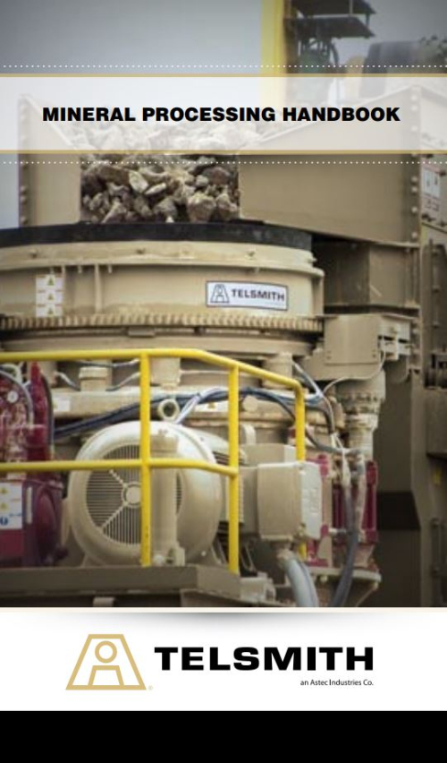
A handy reference book for miners. This book contains the latest specifications and essential information on aggregate and minerals production and handling equipment. It should be noted that various factors, such as engineering advances, physical properties of raw materials, method of feeding and operating the equipment, moisture and physical conditions in material at the time of processing, altitude and other conditions will affect the equipment ratings as published and may yield results not exactly in accord with published data.
Increasing population density and industrialization are creating a high strain on the natural environment and resources of many countries. Therefore, precautionary measures to protect the environment and remedial action to repair the damages of the past have high priority. Resources to be protected are surface water and groundwater, soil and air. Hazards to these resources are landfills and industrial sites as well as mining facilities, including tailings, conditioning plants, and smelters, oil refineries, distribution facilities and pipelines, gas stations and other areas used by humans (e.g., military training sites).
Rivers are the arteries of the landscape, integrating the impacts of change in atmospheric and terrestrial systems and delivering these to the coast. En route, geomorphological processes create dynamic and diverse habitats, both in-stream and in riparian and floodplain environments (Petts and Amoros, 1996a). The dynamics of channel change have led to conflict with human resource development with the outcome that many river and riparian environments have been significantly modified and damaged (Brookes and Shields, 1996; Sear et al., 2000). Responses to change in driving variables (runoff regime and sediment loads) have become dampened or prevented through river maintenance (Sear et al., 1995), while in other circumstances, land-use and land management changes, coupled to more efficient drainage networks, may have increased system sensitivity to environmental change (Newson and Leeks, 1987; Robinson, 1990). <...>
This document provides an overview of the Deswik.CAD object model and scripting interface. The document does cover some specifics of the programming and vb language uses, but is not designed as an in depth programming reference. The Deswik Scripting language closely follows the VB.NET Framework 4 as much as possible. Bearing in mind that it does NOT execute the code in the .NET JIT compiler (it has its own compiler). For this reason it is possible to use the Microsoft VB.NET web resources when looking for syntax information. There are likely some code syntaxes and methods which Deswik has not encountered. Should you find one of these cases please contact support and we will rectify as quickly as possible. <...>
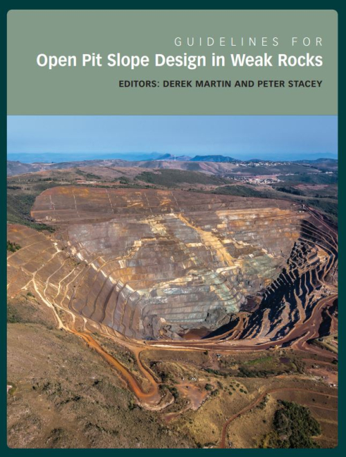
The Large Open Pit (LOP) project is an international research and technology transfer project focused on the stability of large slopes associated with open pit mines. It is an industry-sponsored and -funded project that was initiated in 2005 and managed by Dr John Read under the auspices of Australia’s Commonwealth Scientific and Industrial Research Organisation (CSIRO). The project was renewed in 2014 under the leadership of Dr Marc Ruest and the University of Queensland. The sponsors have comprised a diverse group of multinational mining companies and joint venture partners including: Anglo American plc; AngloGold Ashanti Limited; Barrick Gold Corporation; BHP Billiton Innovation Pty Limited and BHP Chile; Corporación Nacional de Cobre Del Chile (Codelco); De Beers Group Services (Pty); Debswana Diamond Co.; Newcrest Mining Limited; Newmont USA and Newmont Australia Limited; Ok Tedi Mining Limited; Rio Tinto Group; Teck Resources Limited; and Vale S.A. <...>
The search for a mineral commodity, uranium included, and its eventual production is basically an economic activity. A realistic assessment of the economic viability of a project, whether to fulfill domestic needs or to meet world demand, should therefore be carried out as early and as frequently as possible.